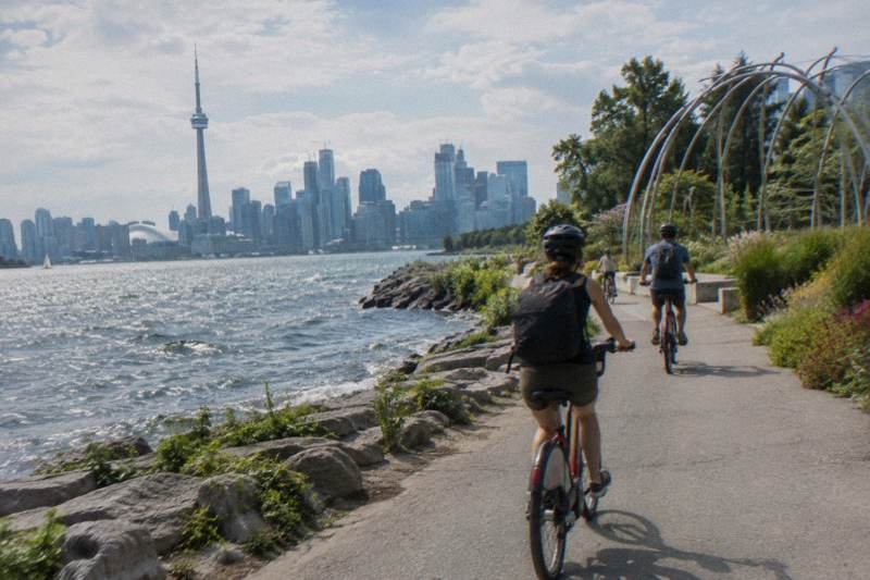
Is Toronto A Good City For Biking?
A straight answer on whether Toronto works for cyclists: trail kilometres, lane removals, ferry and island access, seasons, and which guided rides suit the city best.
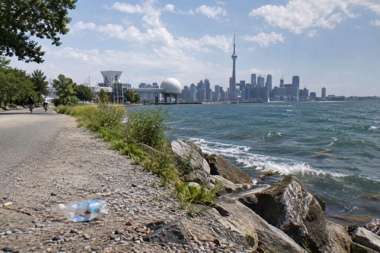
Yes, with an asterisk the size of a bus lane. Toronto's December 2025 network counted 346 km of on-street cycling infrastructure and 399.3 km of multi-use trails, anchored by a 20-plus km waterfront spine and a car-free island park. Away from those spines, protection is uneven, and 2026 brought high-profile lane removals on Bloor Street West. For a visitor, the honest verdict is: excellent for a leisure ride, mixed for daily utility cycling.
The question almost always comes from someone planning a trip, so the answer that matters is the visitor's answer, not the commuter's. A tourist spending three days in Toronto rides the waterfront, crosses to the islands, and rolls through Kensington Market and the Distillery District. On that itinerary, Toronto is a genuinely good biking city, because nearly everything a visitor wants to see sits on or near the trail network.
The commuter's answer is more complicated. The same city that built the Martin Goodman Trail also spent late October 2026 removing 1.2 km of protected bike lanes on Bloor Street West in Etobicoke, between Clissold Road and Royal York Road, after an Ontario Court of Appeal ruling on 14 August 2026 that roadway design decisions belong to the legislature rather than the courts. Cycling advocates announced on 13 October 2026 that they would seek leave to appeal to the Supreme Court of Canada. Both facts can be true at once: a great city to ride for pleasure, and a city whose on-street network is politically contested.
That tension is exactly why guided rides sell well here. A local operator picks the routing, times the ferry, and skips the stretches where a lane disappears.
If you would rather ride independently, the rest of this article lays out what the city actually offers, section by section, with the numbers that matter.
How Much Bike Infrastructure Does Toronto Actually Have?
Toronto's cycling network as of December 2025 totalled 346 km on-street (110.1 km cycle tracks, 143.8 km bicycle lanes, 92.1 km sharrows) plus 399.3 km of multi-use trails, and the Martin Goodman Trail forms a 20-plus km spine along the waterfront from the western to the eastern beaches. The catch: those kilometres are concentrated downtown and along the lake, and protection quality varies sharply by borough.
The split between "cycle track" and "bicycle lane" matters more than it sounds. A cycle track is physically separated from motor traffic by curbs, planters, or concrete. A bicycle lane is paint. Sharrow markings, the third category, are shared-lane arrows that confer no separation at all. Nearly a quarter of Toronto's on-street kilometres are sharrows, which is why a raw network total can flatter the reality on the ground.
| Infrastructure type | Kilometres (Dec 2025) | Separation from cars |
|---|---|---|
| Cycle tracks | 110.1 km | Physical separation |
| Bicycle lanes | 143.8 km | Paint only |
| Sharrows | 92.1 km | None, shared lane |
| On-street total | 346 km | Mixed |
| Multi-use trails | 399.3 km | Fully separated |
The City publishes these figures on its cycling network status page, which is the source for the table above. For a visitor, the practical read is that multi-use trails alone, at 399.3 km, exceed the on-street network, and most of them connect the places tourists actually go.
The 2026 lane removals deserve neutral mention rather than alarm. Ontario completed removing the protected lanes on that 1.2 km Etobicoke stretch of Bloor Street West on 30 October 2026, the first removal under the provincial plan, and a request for proposals covering roughly 19 km across Bloor, Yonge, University, Queen's Park and Avenue Road closed in late 2026 with construction possible from spring 2027. None of that touches the waterfront trail or the islands, which is where a first visit's riding happens.
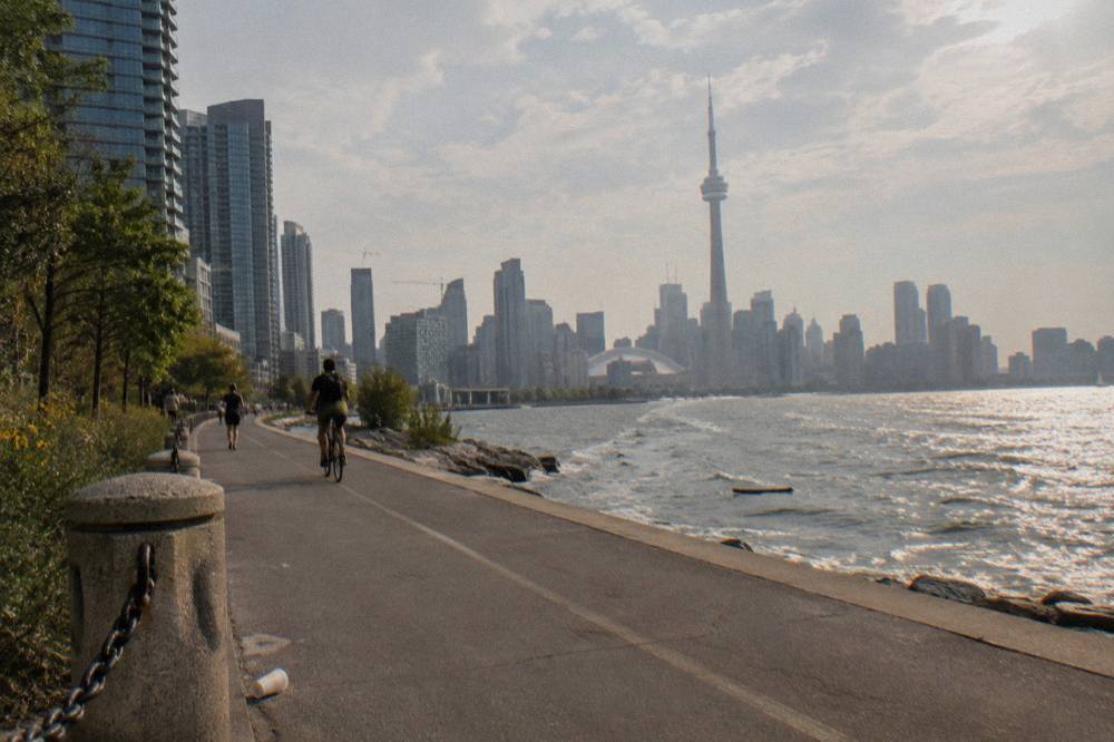
Construction also cuts both ways. The Martin Goodman Trail on Parliament Street closed from 22 April to 31 December 2026 for the Queens Quay East realignment, with a temporary two-way protected lane carrying cyclists past the worksite. Phase 1 of the East Don Trail, 3.3 km of new multi-use path, opened on 13 July 2026, connecting Don Valley trails to The Meadoway. The network is a moving target, and checking current detours before a long ride is simply part of Toronto cycling.
There is a useful rule of thumb buried in those numbers. Wherever your route touches the lake, the Don Valley, or one of the ravine corridors, you are on separated trail and the city feels like a cycling paradise. The moment your route runs along an arterial street in the outer boroughs, the odds of physical protection drop sharply. Downtown sits between those poles, which is why experienced riders plan around side streets and why guide-led routes tend to look indirect on a map: the direct road is rarely the pleasant one.
Wondering which parts of that network a guide would actually put under your wheels?
Is The Waterfront The Best Place To Ride?
For most visitors, yes. The Martin Goodman Trail runs more than 20 km along the lake from the western beaches to the eastern beaches, is fully separated from traffic for almost its entire length, and links Harbourfront, Ontario Place, the Toronto Music Garden, and the ferry terminal without a single stoplight-heavy stretch. It is the closest thing Toronto has to a signature ride.
The trail is part of a network the City describes as over 300 km of trails within Toronto, and its 2019 Unwin Avenue extension completed the continuous waterfront connection. Surface and gradient details vary and are not verified here, so treat any specific description as approximate, but the character is consistent: paved, lakeside, and busy on summer weekends between Harbourfront and Ontario Place.
Free things cluster along it. The trail itself is free to ride, the Toronto Music Garden hosts its free Summer Music in the Garden series on Thursdays at 7 p.m. and Sundays at 4 p.m. through the summer, and the Kensington Flea Market runs weekends from May to September at 216 Augusta Avenue, a short detour inland. Our waterfront trail riding guide covers the routing in detail.
The islands extend the story. Bicycles are welcome on the City ferry, walked on and off, though Bike Share bikes are not permitted. Round-trip fares are Canadian dollars: $9.57 for adults, $6.15 for older adults and youth, $4.51 for juniors, free for infants. Winter service from 14 October 2026 runs to Ward's Island only until mid-April 2027, so an island ride in November means planning around that schedule, and confirming it on the City's sailing page.
| Ferry rider | Round-trip fare (Canadian dollars) |
|---|---|
| Adult (20 to 64) | $9.57 |
| Older adult (65 and over) | $6.15 |
| Youth (15 to 19) | $6.15 |
| Junior (two to 14) | $4.51 |
| Infant (under two) | Free |
Tickets are round-trip and valid at any dock, and online tickets stay valid to year-end, so buying ahead of a summer weekend is a reasonable hedge against terminal queues. August 2026 set a record of more than 423,000 monthly ferry trips during a month of free senior and youth rides, which tells you something about summer crowding at the Jack Layton Ferry Terminal even in a normal year.
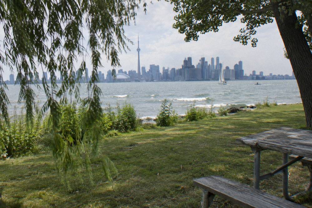
The Waterfront and Islands guided ride covers exactly this geography in 3.5 hours, ferry logistics included, which is its main argument over riding it yourself: the operator handles the crossing and the timing. More on that at the Waterfront and Islands bicycle tour page, including what the listing says about inclusions.
A guided option makes particular sense on the islands in the off-season, when ferry frequency drops to the Ward's-only winter pattern and a missed sailing can cost you an hour of daylight.
What About Riding In The Downtown Neighbourhoods?
Downtown riding is where Toronto's biking reputation is earned and lost on the same street. Kensington Market, the Distillery District, Chinatown, and the financial core sit close together, but the connections between them range from separated lanes to sharrows to nothing at all. This is the terrain where a guided downtown ride earns its price, because local knowledge of the calm side streets is the difference between a pleasant loop and a stressful one.
Kensington Market goes car-free on Pedestrian Sundays, the last Sunday of each month from May to October, noon to 7 p.m., which turns it into one of the best casual cycling environments in the city for those afternoons. The Distillery District is pedestrianized year-round, a cobblestone district where you walk the bike through rather than ride. Between them lies the bit riders must actually plan for. Everything else covered here is indexed on Bike Tours Toronto.
Ontario's rules are straightforward and worth knowing before you go: riders under 18 must wear an approved helmet, every bike needs a bell or horn, and night riding requires a white front light and a red rear light or reflector. The province's bicycle safety page states the full requirements. E-bike riders must be 16 or older, wear a helmet, and stay within a 32 km/h assisted speed and 500 watt motor limit, per the province's e-bike rules. Sidewalk riding is not allowed, though children under 10 may ride there, a detail that matters to families.
The e-bike question changes the downtown calculus. Toronto's core has real elevation changes between the lakefront and the neighbourhoods to the north, and an e-bike flattens them, which is why the e-bike neighbourhood ride exists as a product: same territory as the classic downtown ride, less sweat. The trade-off on the islands is worth remembering, though: e-bikes ride the ferry at staff discretion, must be powered off on board, cannot be charged, and larger ones around 40 kg and over may be directed to the vehicle ferry.
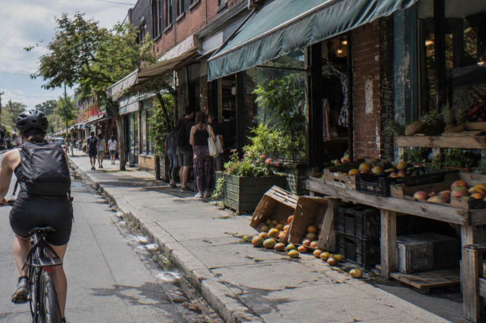
Choosing between the two formats comes down to fitness and distance appetite, and our e-bike versus regular bike comparison walks through it. For the classic option, the 3.5-hour Heart of Downtown Ride with snacks included is the standard first-tour pick; pricing and meeting point details are on the operator's booking page.
When Is The Best Season To Bike In Toronto?
By the long-term normals, June through September is the prime biking window: average highs of 22.0 to 27.0 C and only 7 to 8 days per month with meaningful rain. May and October are workable shoulder months at 18.8 C and 14.6 C average highs. November through March, with average highs of -0.3 to 8.1 C, is for the committed, though the islands technically stay reachable year-round via the Ward's ferry.
These are Environment Canada's 1991 to 2020 climate normals for Toronto City, not a forecast, and individual days swing widely around them, as the 22.2 C record set in late October 2026 demonstrated. But as a planning baseline, the table below tells the story.
| Month | Average high | Average low | Days with 1 mm+ rain |
|---|---|---|---|
| April | 11.7 C | 3.9 C | 9.4 |
| May | 18.8 C | 10.0 C | 9.3 |
| June | 24.2 C | 15.3 C | 8.4 |
| July | 27.0 C | 18.1 C | 8.2 |
| August | 26.1 C | 17.7 C | 7.2 |
| September | 22.0 C | 13.8 C | 7.7 |
| October | 14.6 C | 7.7 C | 8.3 |
Rainfall is spread remarkably evenly across the biking season, with no month in the table standing out as a washout, so the real differentiator is temperature rather than dryness. August is statistically the driest riding month by both rain days and total millimetres, and July the warmest; if you dislike heat, June edges it on comfort with barely more rain.
Season also changes the tour calendar rather than just the weather. Summer means full three-route ferry service to the islands from mid-May to mid-September; spring and fall run reduced schedules; winter means Ward's Island only. December brings the Distillery Winter Village, running 12 November 2026 to 3 January 2027, with timed tickets required on peak evenings and free entry on many weekday afternoons, a detail worth knowing because the Distillery is a fixture of downtown bike routes. Riders planning around the shoulder season can dig into our season-by-season cycling guide.
Daylight is the quieter seasonal factor for anyone booking a twilight or sunrise ride. Late-fall and winter departures run in low light, and Ontario's lighting requirements, a white front light and a red rear light or reflector, stop being fine print and become the whole point. The City's winter trail use continues year-round on the paved multi-use paths, but ferry frequency, not cold, is usually what ends the island cycling season for most visitors.
Does A Guided Ride Or Riding Alone Suit You Better?
Ride alone if your route is the waterfront trail and the islands in summer, your dates are flexible, and you are comfortable reading a ferry schedule. Book a guided ride if your time is short, your dates are fixed, you want the downtown neighbourhoods strung together safely, or you are visiting between mid-October and mid-April. The three formats on offer, classic downtown, waterfront and islands, and e-bike, map cleanly onto those situations.
Guided rides also solve the bike itself. Rental availability, shop names, and rates are not verified facts for this article, so an independent rider should research those separately, while the guided options supply the bike as part of the package and list any snacks or inclusions on the booking page.
There is a middle path, too. Some visitors ride the waterfront alone on a free morning and then book a single guided neighbourhood ride for the afternoon they would otherwise spend lost. That split plays to the city's strengths: the trail portion needs no guide, and the downtown portion benefits from one. The ferry is the other natural dividing line; if islands are the priority, a guided tour that includes the crossing removes the single most schedule-sensitive step of the day.
There is no safety verdict to hand out here, and no ranking of Canadian cities either, since no verified comparison exists to cite. What can be said is structural: Toronto gives a leisure cyclist 399.3 km of separated multi-use trail to work with, a car-free island park a ferry ride away, and a downtown where route choice matters. That is a good biking city by most visitors' standards, with the caveat that the on-street network is under active political revision and worth re-checking close to your travel date.
The three rides below are the ones this site would point a first-time visitor to, in all three formats.
Common Questions About Biking In Toronto
Is Toronto A Good City For Biking?
For a visitor, yes: Toronto has 399.3 km of multi-use trails including a 20-plus km waterfront spine, a car-free island park reached by a bike-friendly ferry, and neighbourhoods that sit close together downtown. The on-street network of 346 km is unevenly protected and was partially reduced in 2026, so the pleasure-riding case is much stronger than the utility-cycling case.
Is It Safe To Bike In Downtown Toronto?
No safety verdict can be given here, and no verified statistics support one. Structurally, downtown riding mixes separated trails, painted lanes, and unprotected sharrows, so the experience depends heavily on route choice. Ontario law requires helmets for riders under 18, a bell or horn on every bike, and lights at night. A guided downtown ride routes around the stressful segments.
Can You Bike On The Toronto Islands?
Yes. Bicycles are welcome on the City ferry, walked on and off, though Bike Share bikes are not permitted and e-bikes ride at staff discretion, powered off, with larger e-bikes around 40 kg and over possibly directed to the vehicle ferry. The islands have paved and gravel trails with no private vehicles. Note that winter ferry service from 14 October 2026 runs to Ward's Island only until mid-April 2027.
Do I Need A Helmet To Bike In Toronto?
Ontario law requires an approved helmet only for riders under 18. Adults ride legally without one. All bikes need a bell or horn, and night riding requires a white front light plus a red rear light or reflector. Guided tour operators typically state their helmet policy on the booking page.
How Much Does The Ferry To The Islands Cost With A Bike?
Round-trip fares in Canadian dollars are $9.57 for adults, $6.15 for older adults and youth, $4.51 for juniors, and free for infants under two. There is no verified separate charge for a standard bicycle; the ferry page treats bikes as welcome aboard. Confirm current fares and sailings on the City's ferry pages before you go.
What Is The Best Month To Cycle In Toronto?
By the 1991 to 2020 normals, August is the statistical sweet spot: a 26.1 C average high and the fewest rain days of the biking season at 7.2. June through September all sit in a comfortable band. May and October are workable and quieter, and summer also brings full three-route ferry service to the islands.