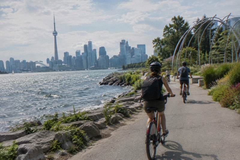
The Toronto Waterfront Trail By Bike
The Martin Goodman Trail strings together more than 20 km of waterfront riding from the western beaches to the eastern beaches, and most of it is flat, paved and separated from traffic.
Short answer
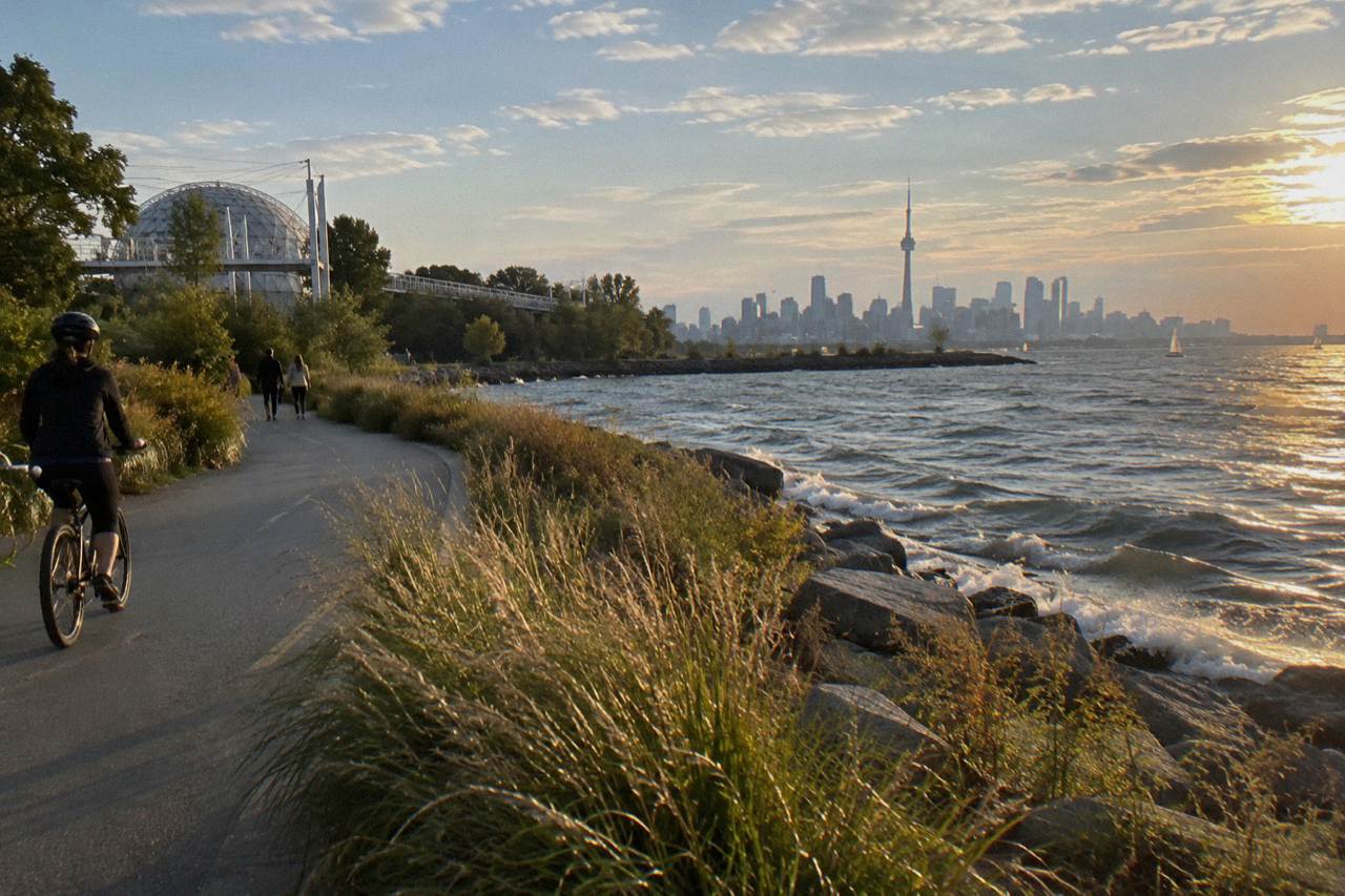
The Toronto waterfront trail, carried mainly by the Martin Goodman Trail, runs more than 20 km from the western beaches to the eastern beaches as part of a network of over 300 km of City trails. Multi-use trails total 399.3 km as of December 2025. Two 2026 works affect it: the Parliament Street closure and the Rouge Beach detour.
Most visitors who rent a bike in Toronto end up on the same ribbon of asphalt, and for good reason. The Martin Goodman Trail, the backbone of the Toronto waterfront trail, completes a 20+ km route along the waterfront from the western to the eastern beaches, and it sits inside a larger network of over 300 km of trails within the city. It is flat, mostly off-road, and it stitches together the Harbourfront, the Islands ferry terminal, the beaches and a string of parks without ever asking you to share a lane with a streetcar.
This page walks the trail end to end: where it starts and finishes, which stretches are worth your limited riding time, what construction is doing to it right now, and when to ride it. It also looks at the guided option, because a 3.5-hour waterfront and islands ride covers ground that would take a self-guided rider a full day of wayfinding to assemble. Bike Tours Toronto keeps this route at the centre of its coverage for a simple reason: it is the one ride almost every visitor can do.
Where Does The Toronto Waterfront Trail Start And Finish?
The trail's anchored claim is the Martin Goodman Trail, which completes a 20+ km route along Toronto's waterfront from the western to the eastern beaches, and which forms part of a network of over 300 km of trails within the City of Toronto. Beyond the city's own figure of 399.3 km of multi-use trails as of December 2025, no other distances on this page are verified, so none are printed.
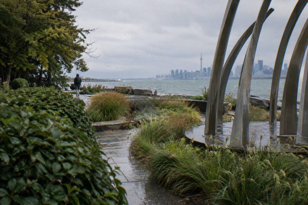
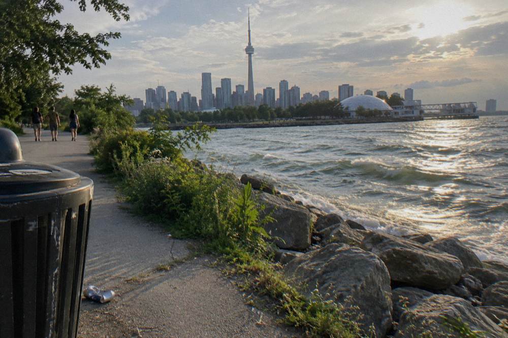
In practice, riders usually describe the trail by its landmarks rather than its endpoints. At the west end you are in the neighbourhoods around the western beaches and the Humber Bay area, riding on off-road paths through parkland. The middle section is the busiest: the Harbourfront stretch between the ferry terminal at the foot of Bay Street and Ontario Place carries the heaviest foot and bike traffic on the whole route, because it is where tourists, commuters and Sunday riders all converge. East of there the trail continues through the Port Lands and out toward the eastern beaches, thinning out as it goes.
The surface is paved multi-use path for the great majority of the route, shared with pedestrians, rollerbladers and dog walkers. It is not a closed bike circuit. You will slow down, you will call out or ring, and on warm weekends in the Harbourfront core you will walk your bike for short stretches. Riders who want an unbroken high-speed loop are looking for the wrong thing here; the trail's value is that it is separated from cars, not that it is empty.
One structural thing to understand: the trail is not perfectly continuous. There are on-road gaps where the path drops you onto a street for a block or two before picking up again, and there are construction sites, two of them significant, covered further down this page. The City's own network status page tracks the on-street and off-street split, and the cycling network status page is the authoritative source for what exists as of December 2025: 110.1 km of cycle tracks, 143.8 km of bicycle lanes, 92.1 km of sharrows, 346 km on-street in total, and 399.3 km of multi-use trails.
The trail also connects, at its midpoint, to the single best side trip in Toronto: the Jack Layton Ferry Terminal and the Toronto Islands. If you are planning to combine the two, read the practical detail in the island ferry guide with a bike, because ferry fares, seasons and bike rules change the plan more than the trail itself does.
| Trail zone | Character | What to expect |
|---|---|---|
| Western beaches end | Quiet parkland paths | Fewer crowds, lake views, good for warm-up riding |
| Harbourfront core | Busiest multi-use section | Heavy pedestrian traffic, ferry terminal, Ontario Place nearby |
| Port Lands and east | Industrial-to-park transition | Quieter, some on-road linking, long straight stretches |
| Eastern beaches end | Neighbourhood beachfront | Boardwalk-adjacent riding, cafes, the trail's relaxed finish |
Which Stretches Of The Waterfront Trail Are Best To Ride?
For a short visit, the Harbourfront-to-eastern-beaches stretch delivers the most scenery per kilometre, while the quieter western end suits riders who want space and lake air more than landmarks. The single best move on the whole trail is the midpoint connection to the Islands ferry, which turns a trail ride into a car-free island ride with no route-finding at all.
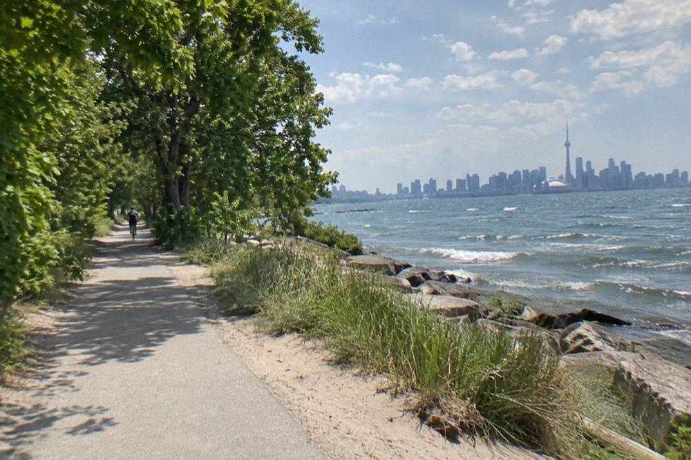
Choose by what kind of ride you want. If your day is about photographs, the Harbourfront core wins: you ride past the ferry terminal, the Toronto Music Garden at 479 Queens Quay West, and the concentrated cluster of things that make postcard Toronto. The Toronto Music Garden hosted its free Summer Music in the Garden series on Thursdays at 7 p.m. and Sundays at 4 p.m. from June 21 to August 27, 2026, with more than 20 Canadian artists, and the garden itself is free to walk through at any time. That is a pattern worth knowing: the free programming sits directly on the trail, so a slow ride past it costs nothing.
If your day is about actually riding, go west or go east from the core. The eastern half runs out through the Port Lands toward the beaches neighbourhood, and it is where the crowd thins. The western end runs through parkland toward the western beaches and the Humber Bay area, and it is the flatter, greener, less eventful half, in the good sense of eventful. Neither half needs a plan beyond pointing your bike in one direction and turning around when you have had enough.
The Islands shortcut deserves its own paragraph. The ferry terminal sits at the trail's midpoint, adult round-trip fare is $9.57 in Canadian dollars ($6.15 for older adults and youth, $4.51 for juniors, infants free), and bicycles are welcome on board, walked on and off. Bike Share bicycles are not permitted on the ferries, which matters if your ride started at a docking station. On the islands there are no private vehicles, paved and gravel trails, and bike rentals through Toronto Island Bicycle Rentals and Bike Share. A trail-plus-island day is the single most rewarding use of a bike in this city, and it is exactly the day the guided options are built around. If the islands leave you wanting more car-free riding, the Don Valley route to Evergreen Brick Works covers the city's other big off-road escape, from riverside trails to the old brick factory itself.
For riders weighing a self-guided day against a booked one, the trade-off is wayfinding and ferry timing against flexibility. Three guided rides cover this territory well:
The first of those, the 3.5-hour waterfront and islands guided ride, is the one built precisely around this page's route, and you can read the full waterfront and islands ride detail or check availability if the timing question is already settled.
How Does A Guided Ride Cover The Waterfront Trail?
A guided waterfront ride hands you the trail's best stretches, the ferry crossing and the Islands in a single booked block of about 3.5 hours, with the bike and the route included, which removes the two things self-guided riders most often underestimate: ferry timing and the detours. The trade is simple: you ride someone else's route on someone else's clock.
The listing for the 3.5-hour waterfront and islands ride describes a shared guided ride, classic bikes, in the toronto-islands-bike-tours family. What that format buys you on this specific route is sequencing. The self-guided version of the day has three failure points: you pick the wrong stretch of trail, you misjudge the ferry queue, or you run out of daylight on the island. A guided version absorbs all three, because the guide's route, the crossing and the return are one schedule. Where a detail like the exact meeting point or what is included is not stated here, check the booking page before you book, since inclusions and meeting points live there.
There is also the classic 3.5-hour heart-of-downtown ride with snacks included, which skips the waterfront spine entirely and covers the downtown neighbourhoods instead. Riders deciding between these will find the fuller comparison in which guided ride you should book.
One honest note on guided rides here: none of them can promise weather, ferry waits or what you will see, and any that sound like they do are overselling. What they do promise, on the listing, is a route, a guide, a bike and a block of time. Riders who want the same route with a motor can look at the e-bike alternative below, which covers the city's dynamic neighbourhoods on an electric bike across a similar 3.5-hour block, a real option on windy waterfront days when the flat trail still feels long.
| Option | Time | Bike type | Territory |
|---|---|---|---|
| Waterfront and islands guided ride | 3.5 hours | Classic | Waterfront trail, ferry, Islands |
| Heart of downtown ride | 3.5 hours | Classic | Downtown neighbourhoods, snacks included |
| E-bike neighbourhoods ride | 3.5 hours | E-bike | City and neighbourhoods, motor-assisted |
What Closures And Detours Affect The Waterfront Trail?
Two verified works affect the trail right now: the Martin Goodman Trail on Parliament Street is closed from 22 April to 31 December 2026, with a temporary protected bi-directional bicycle lane carrying riders past the construction, and the Rouge Beach section of the wider Waterfront Trail remains closed with a long-term detour until 2027. Both are dated, official and current; neither is a reason to skip the ride.
The Parliament Street closure is the one most riders will touch. The City authorized it to allow the Queens Quay East and Parliament Street realignment, and the Quayside infrastructure project shifted the trail between Merchants' Wharf and Lake Shore Blvd East onto a temporary bi-directional lane separated by concrete barriers. The practical effect is that a short, well-signed section of the trail rides differently from the rest: on-street, protected, two-way. Follow the signs and do not improvise a shortcut through the construction zone. A Bike Share station was relocated to Aitken Place Park during the works, and the north sidewalk on Queens Quay East between Parliament and Bonnycastle stayed closed.
The eastern end has the bigger problem. The Rouge Beach section, out at the Scarborough and Pickering border, has been closed since late 2025 because the pedestrian bridge over the Rouge River is closed, and the Waterfront Trail's own trail conditions page tracks it with a long-term detour and no full reopening until 2027. If your plan was to ride the trail out to its eastern extremity, adjust now: the detour is long, and for a visitor on a rented bike the trail's usable eastern finish is the beaches neighbourhood, well before Rouge.
Away from the waterfront, the biggest cycling story of the year is the Bloor Street West bike lane removal, but it barely touches this route. Ontario completed removing the 1.2 km stretch of protected lanes between Clissold Road and Royal York Road in Etobicoke on 30 October 2026, following the Court of Appeal ruling of 14 August 2026 that roadway design is a matter for the legislature. It is Etobicoke, not the waterfront, so it matters to west-end commuters more than to visitors riding the lake. The neutral fact for this page: none of that work affects the Martin Goodman Trail itself. If you would rather extend your lakeside ride inland, the guide to cycling High Park and the west end shows how to reach the park by bike and loop back to the Martin Goodman Trail.
When Is The Best Season To Ride The Waterfront Trail?
The best riding window on the waterfront trail is May through September, when average highs run from 18.8 C to 27.0 C and monthly precipitation sits between 76.4 and 81.6 mm, with July and August the warmest months. October stays rideable at a 14.6 C average high, and November drops to 8.1 C with more rain days, so late fall riding is possible but less pleasant.
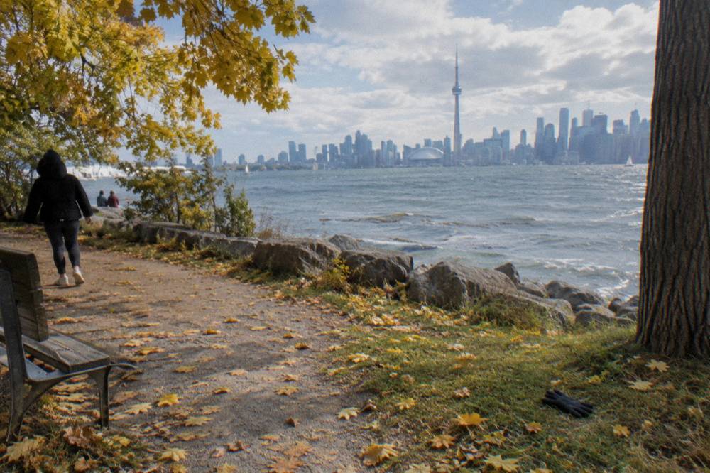
Those figures are the Environment Canada 1991 to 2020 climate normals for Toronto City, and they are normals, not forecasts: they tell you what a month usually is, not what your Saturday will be. Read them as planning ranges. June through August all average highs above 24 C with 8 or fewer days per month of 1 mm-plus precipitation, which is why summer is when the Harbourfront core gets crowded enough to walk your bike. May and September are the connoisseur months: average highs of 18.8 C and 22.0 C, the same rainfall pattern, and noticeably more room on the path.

Winter riding on the waterfront is a real but specific choice. January averages a high of -0.3 C and a low of -6.7 C with 64.6 mm of precipitation, and the trail is a multi-use path that gets treated like one, not like a priority commuter route. The other winter constraint is the ferry: winter service from 14 October 2026 runs to Ward's Island only, with no Centre Island or Hanlan's Point service until the spring reduction begins around mid-April, so a winter trail-plus-island day is a smaller day than the summer version. Confirm sailings on the City's ferry schedule page before you build a winter plan around them.
If your dates are flexible, the fuller month-by-month argument, including crowd and event timing, is in the best time of year to cycle in Toronto. One late-fall footnote worth knowing: Toronto Pearson recorded about 22.2 C on or around 29 October, breaking the 1946 daily record of 21.7 C, a reminder that late October can occasionally hand you a spring-like riding day.
| Month | Avg high C | Avg low C | Days with 1 mm+ precip | Verdict for the trail |
|---|---|---|---|---|
| May | 18.8 | 10.0 | 9.3 | Prime: warm, uncrowded |
| June | 24.2 | 15.3 | 8.4 | Prime: full summer service begins mid-May |
| July | 27.0 | 18.1 | 8.2 | Warmest; busiest Harbourfront |
| August | 26.1 | 17.7 | 7.2 | Driest major month |
| September | 22.0 | 13.8 | 7.7 | Prime: thinnest crowds of summer |
| October | 14.6 | 7.7 | 8.3 | Rideable, layer up |
| November | 8.1 | 2.3 | 9.0 | Cool, grey, fewer riders |
What Should You Know Before Riding The Waterfront Trail?
Bring a bell or horn, lights if you will ride near dusk, and a helmet for anyone under 18, which is Ontario law rather than preference; ride on the path, not the sidewalk, where riding is not allowed except for children under 10. Check the booking page or rental counter for anything operator-specific, and carry the ferry fare in mind if the Islands are on your route.
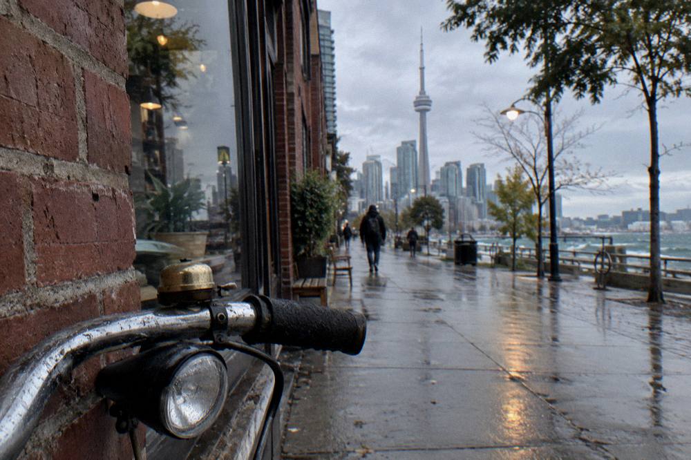
The legal baseline is set by the province. Ontario's bicycle safety rules require cyclists under 18 to wear an approved helmet, and require a bell or horn, a white front light, a red rear light or reflector at night, and reflective tape on the forks. Riding on sidewalks is not allowed, with the exception of children under 10. On an e-bike, the rider must be 16 or older, must wear an approved helmet, and the bike itself is capped at a 32 km/h assisted speed, a 500 watt motor and 120 kg total weight. The official bicycle safety page states all of this in full.
The trail-specific etiquette matters more than the law on a busy Saturday. The Martin Goodman Trail is multi-use, so pedestrians have as much claim to it as you do: pass with space, ring or call before you pass, and expect to walk through the Harbourfront core at peak times. E-bike riders should note the ferry wrinkle: e-bikes are welcome on the ferry at staff discretion, must be fully powered off on board, cannot be charged onboard or at the terminal, and larger e-bikes, roughly 40 kg and over, may be directed to the vehicle ferry. Over on the island park itself, e-bikes over 40 kg are not allowed. The details are spelled out in the ferry-with-a-bike guide.
For packing, the practical list, layers, water, lights and a lock, is laid out in what to bring on a Toronto bike ride. One trail-specific addition: sunscreen, because the waterfront path is exposed for long stretches and the lake amplifies the glare. And if the early start appeals, there is a guided version of it: a sunrise breakfast bicycle tour on the Islands, a 3.5-hour classic-bike ride that includes breakfast, quietest possible timing on a route that gets busy fast. Its review pool is small, so treat it as an idea to investigate on the booking page rather than a proven quantity.
For riders set on the islands at the conventional hour, the morning-or-twilight islands ride is the same territory with more sociable timing, and the comparison between morning and evening light is argued out in the islands timing guide.
Whichever way you assemble the day, the trail itself is the constant: more than 20 km of separated waterfront riding, two known detours, a ferry in the middle, and a season that runs from roughly May to October at its best. Decide how much of the planning you want to keep, and the rest of the decision makes itself.
Common Questions About The Toronto Waterfront Trail
Where Does The Toronto Waterfront Trail Start And Finish?
The Martin Goodman Trail completes a 20+ km route along Toronto's waterfront from the western to the eastern beaches, part of a network of over 300 km of trails within the city. Beyond that figure and the citywide 399.3 km of multi-use trails as of December 2025, no other distances are verified, so plan by landmarks rather than kilometre counts.
Is The Waterfront Trail Paved?
Yes, the great majority of it is paved multi-use path shared with pedestrians, with short on-road linking gaps where the path drops onto a street. It is separated from traffic rather than closed to other users, so expect to slow down and ring or call out when passing, especially in the Harbourfront core.
Can You Ride From The Waterfront Trail To The Toronto Islands?
Yes. The Jack Layton Ferry Terminal sits at the trail's midpoint, bicycles are welcome on the ferry, walked on and off, and the adult round-trip fare is $9.57 in Canadian dollars. Bike Share bicycles are not permitted on the ferries, and winter service from 14 October 2026 runs to Ward's Island only, so check the City's sailing schedule first.
Are There Closures On The Waterfront Trail?
Two. The Martin Goodman Trail on Parliament Street is closed from 22 April to 31 December 2026, with a temporary bi-directional protected lane carrying riders past the construction. The Rouge Beach section of the wider Waterfront Trail is closed with a long-term detour until 2027.
When Is The Best Time Of Year To Ride The Waterfront Trail?
May through September, when average highs run from 18.8 C to 27.0 C and rain days stay near 7 to 9 per month. May and September offer similar warmth to midsummer with thinner crowds, while July and August are warmest and busiest in the Harbourfront core.
Do You Need A Helmet On The Waterfront Trail?
Cyclists under 18 must wear an approved helmet under Ontario law, along with a bell or horn, and lights or reflectors at night. Adults are not legally required to wear one, but the trail is a shared path where a helmet is a sensible choice regardless of age.