Cycling High Park And The West End
High Park is Toronto's biggest park and one of its best places to ride, but no guided tour is sold for it. Here is how to reach it, ride it and link it to the waterfront, and what a guided ride covers instead.
Short answer
High Park sits in Toronto's west end, roughly 20 minutes by bike from the downtown core via neighbourhood streets and the Martin Goodman Trail along the lake. The park's roads and paths are open to cycling, entry is free, and the Animal Display is closed from 13 October 2026 through spring 2027. No tour is sold for the park itself.
High Park is the largest park entirely inside Toronto, and it sits in the west end of the city, close enough to the waterfront that a visit folds naturally into a longer ride along the lake. The park is free to enter, its network of paved roads and paths is open to cyclists, and it anchors a corner of the city where park, ravine and lakeshore riding sit within a short pedal of one another. There is a catch worth knowing up front: no guided bike tour is sold for High Park itself. Every bookable ride in the city covers other ground, so this page is an honest pairing of a self-guided park loop with the guided options that come closest.
How Do You Get To High Park By Bike?
From downtown, ride west along the Martin Goodman Trail or quiet west-end streets; the park has entrances on all sides, and the main gate sits on Parkside Drive opposite High Park subway station. The trail along the lake runs more than 20 km from the western to the eastern beaches, and the park sits a short climb north of it at the western end, with riding time depending on your start point and pace.
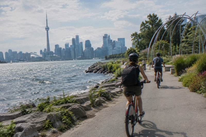
The simplest approach from the downtown core is to pick up the Martin Goodman Trail at the waterfront and follow it west. The trail is a multi-use path, part of a network of more than 300 km of trails within the city, and the City of Toronto describes it as a 20-plus km waterfront route connecting the western and eastern beaches. Riding west from the Harbourfront area, the trail passes Ontario Place and then the Humber Bay area, and High Park sits inland from the western stretch of this corridor.
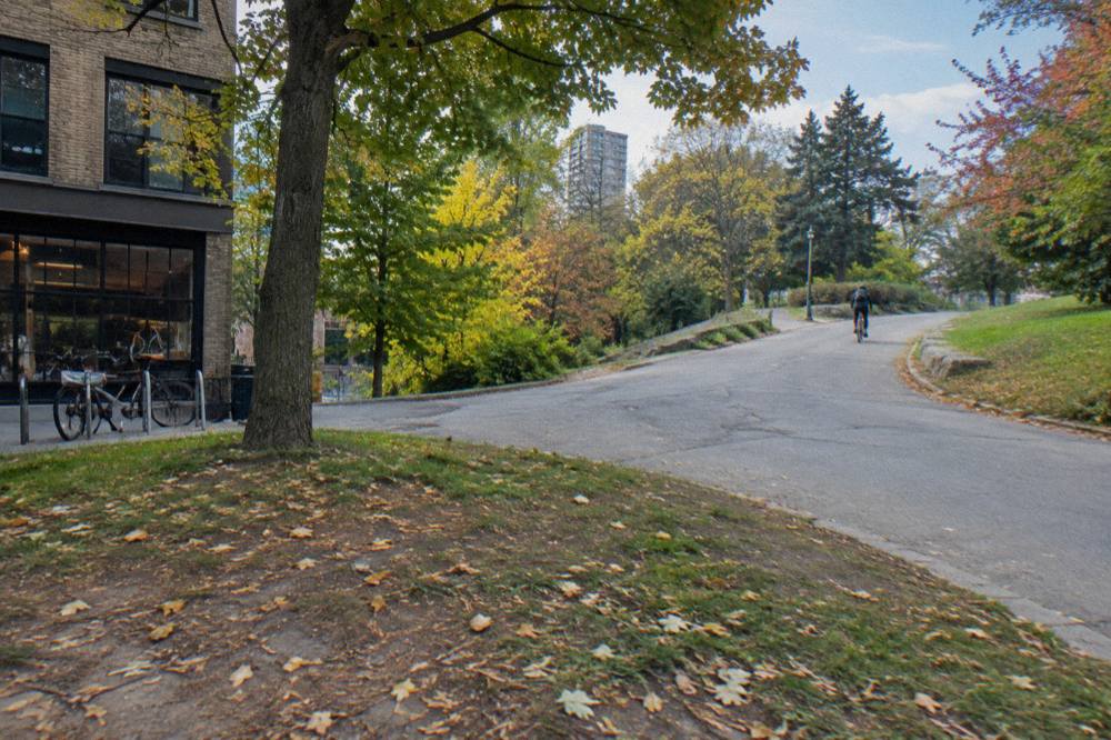
If you would rather ride streets, the west end has a grid of residential roads that carry far less traffic than the arterials. Bloor Street West runs along the park's northern edge and is the landmark most visitors navigate by; the park's main entrance on Parkside Drive touches the eastern side, and Colborne Lodge Road climbs into the interior from the south. The city's cycling network as of December 2025 counted 110.1 km of cycle tracks, 143.8 km of bicycle lanes and 399.3 km of multi-use trails, and the west end holds a fair share of that total, as the network status page on toronto.ca details.
| Approach | What it is like | Best for |
|---|---|---|
| Martin Goodman Trail from the east | Off-street waterfront path, lake views, shared with pedestrians | Families, first-time visitors |
| Bloor Street West corridor | Arterial street along the park's north edge, transit parallel | Riders confident in traffic |
| Parkside Drive entrance | Southern gateway from the Queensway side, main gate | Arriving from the southwest |
| West-end residential grid | Quieter neighbourhood streets threading toward the park | Riders avoiding arterials |
One practical note for planning: the trail along the lake is the pleasant way in, but it adds distance compared with a direct street route. Neither option has a verified time estimate worth printing, because the answer depends entirely on where you start and how fast you ride. Our companion piece on the waterfront trail by bike breaks the lakeshore corridor down section by section if the ride east is part of your plan.
Because no tour operates inside the park, riders who want a guide usually book a ride that covers adjacent ground and visit the park on their own before or after.
What Is The Ride Like Inside High Park?
Inside High Park, you ride a network of paved loop roads mixed with wooded paths and hill climbs, all free to enter, with vehicle access limited inside the grounds. The interior roads circle up to the Hillside Gardens area, the ponds, and the zoo, while the terrain runs from flat stretches near the gates to genuinely hilly ground in the middle, so expect pedestrians rather than solitude.
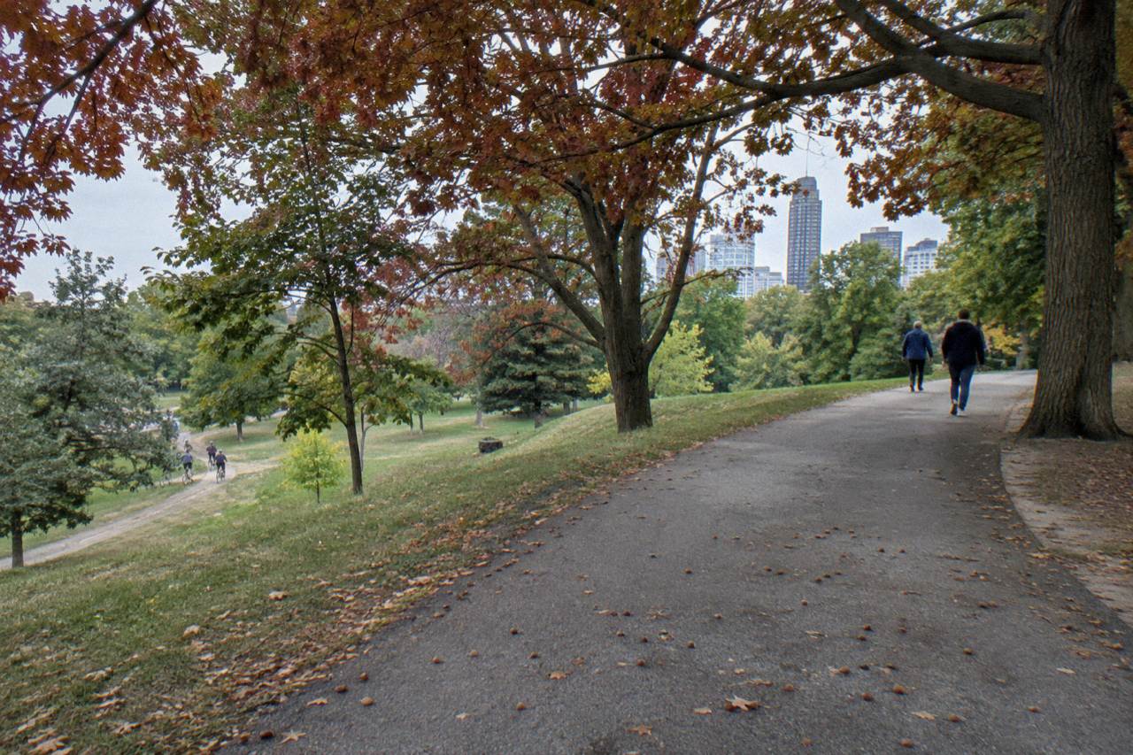
The park's layout rewards a slow lap. Paved roads carry you past Grenadier Pond on the western side, up toward the Hillside Gardens and the monument at the top of the hill, and around to the eastern edge near Parkside Drive. Off the roads, a mix of paved and informal paths threads the wooded ravine slopes. The City's High Park page on toronto.ca is the source to confirm anything specific about current access, including the seasonal vehicle restrictions that sometimes close interior roads to cars on busy weekends.
One current closure matters if animals were part of your plan. The High Park Animal Display, including the llama pen, closed to visitors starting 13 October 2026 and stays closed through spring 2027 because of Deer Pen Road construction. Everything else in the park remains open; the closure is specific to that display and the road works around it.
Two rules shape riding inside the park and on the way to it. Under Ontario law, cyclists under 18 must wear an approved helmet, and bicycles need a bell or horn plus lights and reflectors at night, per the province's bicycle safety page. And riding on sidewalks is not allowed, with an exception for children under 10. Inside a busy park these rules matter more than anywhere else on this route: pedestrians cross the loop roads constantly in good weather.
Riding inside a park this popular also means managing expectations. The roads are shared with walkers, runners and, in season, crowds drawn by the spring blooms. Early morning is the quiet window in most large city parks, though no verified figure exists for this park's busy hours, so treat that as general practice rather than a promise.
If you are weighing whether a guide adds anything to the west-end side of the city, the honest answer is that the park itself is self-explanatory, but the neighbourhoods around it reward local knowledge. The e-bike ride through Toronto's dynamic neighbourhoods runs 3.5 hours and covers the kind of ground that connects park-adjacent districts to the downtown core, with an electric assist that flattens the west end's hills.
Can You Bike From High Park To The Waterfront Trail?
Yes, and it is the natural extension of the ride. The park sits a short distance north of the lake, and the Martin Goodman Trail's western sections pass through the waterfront parkland just south of the park, linking toward Humber Bay and the beaches to the east. The link is a modest climb leaving the lakefront and a gentle descent returning, and no toll, fee or permit applies to any part of it.
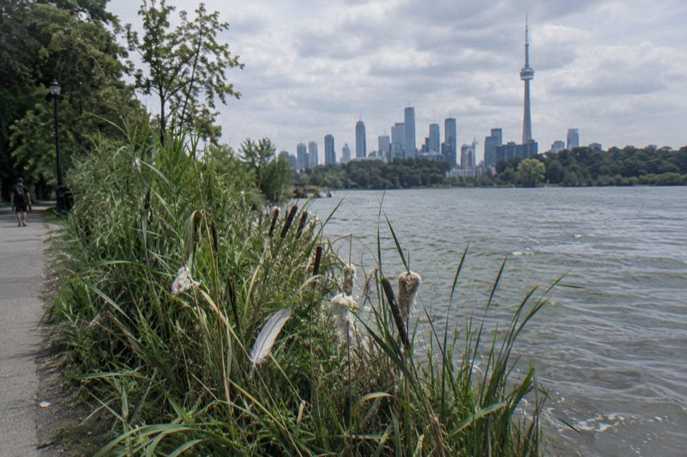
The practical route runs south from the park's southern edge toward the Queensway and the lakefront parkland beyond it. From there the Martin Goodman Trail carries you in both directions along the lake: west toward Humber Bay and the western beaches, east back toward the Harbourfront, Ontario Place and the downtown core. The City describes the trail, together with its 2019 Unwin Avenue section, as completing a 20-plus km route along Toronto's waterfront from the western to the eastern beaches.
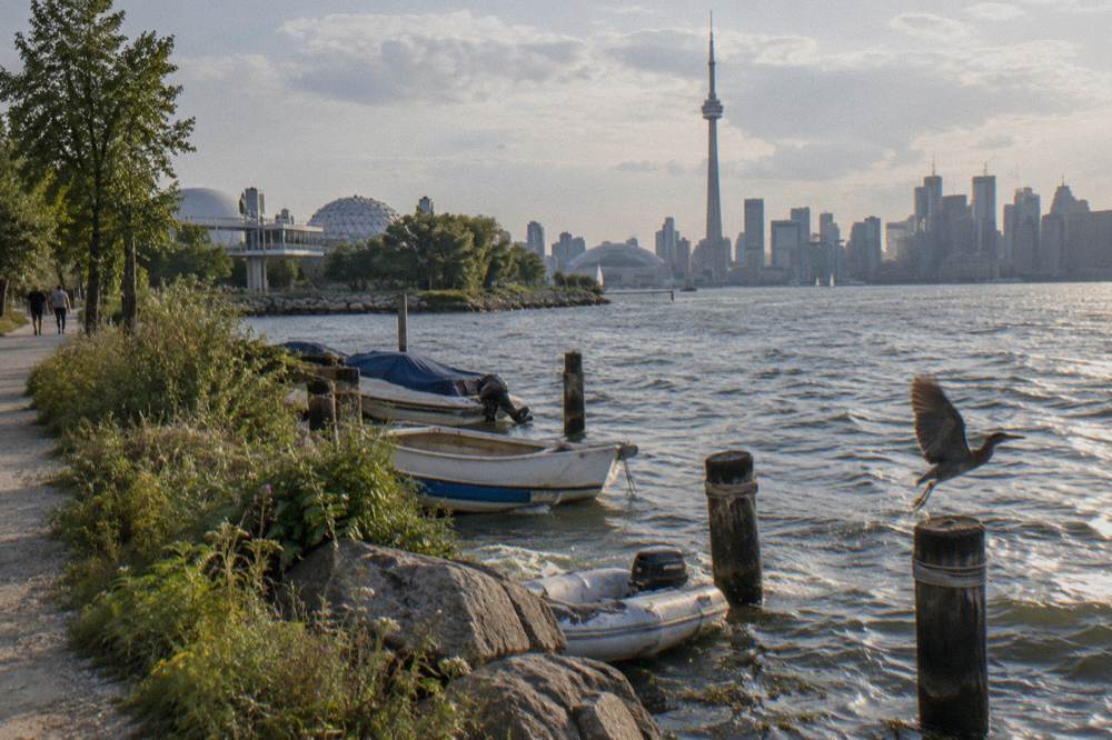
One construction note applies to the trail in 2026, though it sits east of this ride rather than on it. The Martin Goodman Trail on Parliament Street, between Merchant's Wharf and Lake Shore Boulevard East, has been closed from 22 April 2026 through 31 December 2026, replaced by a temporary protected bi-directional bicycle lane during Queens Quay East and Parliament Street realignment work. That closure affects the trail's eastern end, nowhere near High Park, but riders planning a full lakefront lap should know about it. Our Martin Goodman Trail cycling guide covers the full corridor and its detours.
| Segment | Character | Notes |
|---|---|---|
| Humber Bay to the park's latitude | Waterfront path, marina and bay views | Western gateway to the corridor |
| Waterfront to Ontario Place | Off-street path, shared use | Busiest section near downtown |
| Ontario Place to Harbourfront | Lakefront path through parkland | Connects to downtown departure points |
| Parliament Street section | Closed 22 April to 31 December 2026 | Temporary two-way bike lane in place |
A guided option shares this corridor. The 3.5-hour waterfront and islands guided bicycle tour rides the lakefront and crosses to the islands, which pairs the same shoreline you pedal past from High Park with the car-free island roads across the harbour. Check the booking page for its current price and inclusions.
What About The West End Neighbourhoods Beyond The Park?
The neighbourhoods north and west of High Park are well worth riding even though nobody markets them as a cycling destination, and that low profile is the appeal. Bloor West Village sits along the park's northern edge, Swansea and Roncesvalles sit east of it, and Junction-area streets lie to the northeast, all with low-traffic residential roads, shops to stop at, and no crowding.
Bloor West Village runs along the park's northern boundary, a streetcar-and-shop corridor where a coffee stop is never far. Roncesvalles Avenue lies a few blocks east, a shorter commercial street with a neighbourhood feel, and the residential streets between the two carry cyclists on quiet parallel roads. To the west, Swansea slopes toward the Humber River valley, and the Grenadier Pond side of the park gives the loop its natural western boundary.
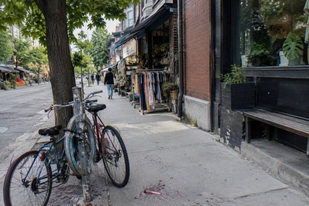
One piece of 2026 infrastructure news touches the west end's cycling conversation without affecting this ride's practical route. On 30 October 2026 the Ontario government completed removing the protected bike lanes on a 1.2 km stretch of Bloor Street West in Etobicoke, between Clissold Road and Royal York Road, restoring motor vehicle lanes. That stretch lies well northwest of High Park and Bloor West Village, so it does not change how you reach the park, but it is part of the broader story of west-end bike infrastructure this year, which also saw an August 2026 Court of Appeal ruling on the province's authority over Toronto lane removals. Riders curious about the wider picture can read our Toronto bike lanes and path map guide.
For visitors who want the neighbourhoods interpreted rather than just ridden, the downtown 3.5-hour bike tour with snacks included is the bookable ride that comes closest to this ground. It starts from the downtown side rather than the park, covers the centre's districts with a guide, and lists its meeting point and inclusions on the booking page. Paired with a self-guided park visit, it covers what no park tour can.
| Area | Where it sits | Why ride it |
|---|---|---|
| Bloor West Village | North edge of the park | Shops, cafes, transit backup |
| Roncesvalles Avenue | East of the park | Neighbourhood main street, low traffic nearby |
| Swansea and the Humber side | West of the park | Sloping residential streets toward the valley |
| Junction area streets | Northeast of the park | Older commercial strips, quieter than downtown |
When Is The Best Season For This Ride?
The warm-weather window from May through September gives the most comfortable conditions, with average highs of 18.8 C in May rising to 27.0 C in July, and the park's famous spring bloom period drawing the biggest crowds. October still averages a 14.6 C high and remains pleasant, while January's average high of minus 0.3 C makes winter riding a committed choice. These are 1991 to 2020 climate normals, not forecasts.
The normals for Toronto City show why the shoulder seasons earn their fans. June through August each average between 7.2 and 8.4 days with at least 1 mm of precipitation, so a dry summer day is the norm rather than the exception, and September's 22.0 C average high with 69.4 mm of total precipitation is arguably the sweet spot: warm trails, thinner crowds, and the park's roads to yourself more often.

| Month | Avg high C | Avg low C | Precip mm | Days with 1 mm+ |
|---|---|---|---|---|
| May | 18.8 | 10.0 | 76.4 | 9.3 |
| June | 24.2 | 15.3 | 81.6 | 8.4 |
| July | 27.0 | 18.1 | 76.5 | 8.2 |
| August | 26.1 | 17.7 | 71.9 | 7.2 |
| September | 22.0 | 13.8 | 69.4 | 7.7 |
| October | 14.6 | 7.7 | 69.1 | 8.3 |
Our fuller treatment of seasonal trade-offs, including the colder months, lives in the best time of year to cycle in Toronto guide. For this route specifically, the only hard seasonal factor is daylight and comfort: the park and the trail are open year-round, and no seasonal closure applies to cycling in the park, but winter averages below freezing overnight from December through March.
One late-2026 weather note puts the season in perspective: Toronto Pearson recorded about 22.2 C on or around 29 October 2026, breaking a daily record from 1946. A warm late-autumn day happens, but the normals above, not the outlier, are what to pack for.
Which Guided Ride Pairs Best With A High Park Visit?
No tour is sold for High Park itself, so the best pairing depends on what you want beside it: the 3.5-hour downtown ride with snacks for neighbourhood depth, the 3.5-hour e-bike neighbourhoods ride for hills without effort, or the 3.5-hour waterfront and islands ride for the lakefront corridor the park connects to. All three are shared, small-group-style rides with a guide, so compare inclusions rather than headline prices.
The downtown ride is the most direct companion because it interprets the central neighbourhoods a west-end visitor passes between the park and the core. The e-bike version suits riders who want the same territory with electric assist, and Ontario's e-bike rules cap assisted speed at 32 km/h with a 500-watt motor limit and a rider minimum age of 16, so the assisted pace stays leisurely. The waterfront and islands ride makes sense if the lake is the point: it shares the Martin Goodman corridor and adds the ferry crossing to the islands' car-free roads.
| Ride | Duration | Bike type | What it adds beside a park visit |
|---|---|---|---|
| Downtown ride, snacks included | 3.5 hours | Classic bike | Guided depth on central neighbourhoods |
| E-bike neighbourhoods ride | 3.5 hours | E-bike | West-end-style districts without the effort |
| Waterfront and islands ride | 3.5 hours | Classic bike | The lakefront link plus the islands by ferry |
Riders building a full day sometimes do that ride in the morning and the park loop on their own in the late afternoon.
Deciding between formats comes down to hills and distance appetite. The park's interior climbs are short but real, the neighbourhoods roll, and the trail is flat. Riders who dislike climbing lean e-bike; riders who want the exercise take the classic option and treat Grenadier Pond's flat western side as the recovery lap. For a fuller comparison of assisted versus regular riding, see e-bike or regular bike on a Toronto tour.
What Should You Bring And Know Before You Go?
Bring a helmet for anyone under 18, where Ontario law requires one, plus a bell, lights if you will ride past dusk, water and a lock for stops in the villages. Entry to the park and the trail is free, no permit is needed to cycle them, and transit offers a bail-out option at High Park station on the park's northeast corner. Check the City's park page for anything time-specific before you set out.
The legal minimums are short: a helmet for riders under 18, a bell or horn on the bike, and a white front light plus a red rear light or reflector when riding at night, with reflective tape required on the forks. Sidewalk riding is prohibited except for children under 10, which inside a crowded park is the rule most likely to matter. Full details sit on the Ontario bicycle safety page linked earlier.
Beyond the law, the practical kit list is modest, and our what to bring on a Toronto bike ride guide covers it in depth. For this route the essentials are water, a lock for village stops, layers for the lake breeze on the trail, and a payment card, since the cafes of Bloor West Village are the natural reward at the end of the loop.
| Item | Needed? | Why |
|---|---|---|
| Helmet | Required under 18, wise for all | Ontario law, park crowds |
| Bell or horn | Required by law | Shared park roads and trail |
| Lights front and rear | Required at night | Dusk falls early from October |
| Water and snacks | Recommended | Few fill points inside the park |
| Lock | Recommended | Stops in Bloor West Village or Roncesvalles |
| Layer or windbreaker | Recommended | Lake breeze on the trail |
Timing within the day matters less than timing within the week. Weekends bring the crowds that a big free park attracts in good weather, and the Animal Display closure through spring 2027 removes one of the park's child-focused draws, so families should plan around ponds, playgrounds and the trail rather than the zoo area. Bike Tours Toronto keeps the guided options honest, but the park half of this day is yours to pace.
Between the free park, the free trail and the villages, this ride costs nothing but the bike. Cyclists comparing it with the islands across the harbour should note that the ferry there is a paid service with verified fares in Canadian dollars, a different proposition from this route's zero-fee corridor.
Common Questions About Cycling High Park And The West End
How Do You Get To High Park By Bike?
From downtown, follow the Martin Goodman Trail west along the lake and climb north from the waterfront parkland, or ride quieter west-end residential streets to the park's edges. The main entrance sits on Parkside Drive, and Bloor Street West marks the northern boundary. No fee or permit applies to arriving by bike.
Can You Cycle Inside High Park?
Yes. The park's paved loop roads and paths are open to cyclists and free to enter, with shared use alongside pedestrians. Ontario's rules apply inside the park, including the helmet requirement for riders under 18 and the prohibition on sidewalk riding.
Is Any Guided Bike Tour Sold For High Park?
No. No tour is sold for the park itself. Park-minded cyclists typically visit under their own steam and pair it with a guided ride covering adjacent ground, such as the 3.5-hour downtown ride with snacks included, the e-bike neighbourhoods ride, or the waterfront and islands ride.
Can You Bike From High Park To The Waterfront Trail?
Yes, and it is the natural extension of the ride. The Martin Goodman Trail passes through the waterfront parkland just south of the park and links west toward Humber Bay and east back to the downtown core, forming part of a 20-plus km waterfront route.
When Is The Best Time Of Year To Cycle High Park?
May through September offers the most comfortable conditions, with average highs from 18.8 to 27.0 C and relatively few wet days per month. September combines a 22.0 C average high with thinner crowds, and spring bloom season draws the park's biggest visitor numbers.
Is The High Park Animal Display Open?
No. The Animal Display, including the llama pen, closed to visitors from 13 October 2026 and remains closed through spring 2027 because of Deer Pen Road construction. The rest of the park stays open.