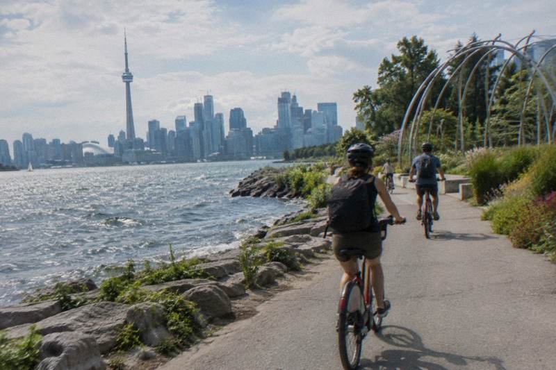
Martin Goodman Trail Cycling Guide
The Martin Goodman Trail is Toronto's main lakefront cycling artery, a 20+ km route from the western beaches to the eastern beaches. This guide covers what is verified about the trail, where construction changes the route in 2026, and when a guided ride earns its price.
Short answer
The Martin Goodman Trail runs more than 20 km along Toronto's waterfront from the western to the eastern beaches, part of a network of over 300 km of city trails. In 2026, the Parliament Street section is closed until 31 December with a temporary two-way protected lane beside it. A guided waterfront and islands ride uses the trail and adds the ferry.
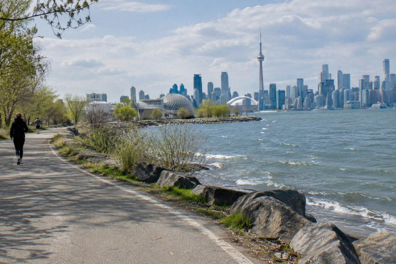
The Martin Goodman Trail is the spine of Toronto's waterfront. It is the route that connects the western beaches to the eastern beaches along the shore of Lake Ontario, and it carries more bikes, rollerblades, strollers and running shoes than any other path in the city. The City describes it as completing, with the 2019 Unwin Avenue section, a 20+ km trail along Toronto's waterfront, and as part of a larger network of over 300 km of trails within the city limits, according to the City's own 311 service page on the trail.
That scale is the appeal and, honestly, the challenge. Riding the whole thing is a commitment, and riders searching for "martin goodman trail" usually want to know where it actually goes, where it is under construction, whether it connects to the Toronto Islands, and what time of year it is pleasant rather than punishing. This guide answers those questions with verified facts only, and it points to where a guided ride, which handles the bike, the route and the ferry logistics, fits into the picture. For the broader lakefront picture, see the companion piece on the Toronto waterfront trail by bike.
Where Does The Martin Goodman Trail Start And End?
The trail runs more than 20 km along Toronto's waterfront, from the western beaches to the eastern beaches, and with the 2019 Unwin Avenue section it forms one continuous lakefront route. The City of Toronto counts it as part of a network of over 300 km of multi-use trails city-wide, which sits alongside 346 km of on-street cycling infrastructure as of December 2025.
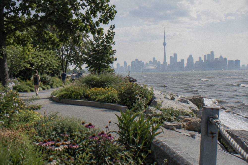
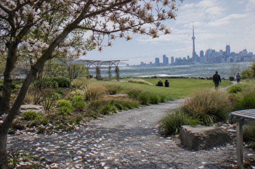
The western end anchors in the beaches neighbourhood near Marie Curtis Park and the eastern end reaches the Port Union area, with the downtown Harbourfront in the middle. The names of the end sections matter less than the logic of the route: it follows the lake, so the water stays on one side the whole way, and the skyline appears and disappears as the trail bends around Humber Bay, Ontario Place, the central harbour and the eastern port lands.
The City's network status page gives the wider frame. As of December 2025, Toronto had 110.1 km of cycle tracks, 143.8 km of bicycle lanes and 92.1 km of sharrows on streets, for 346 km on-street, plus 399.3 km of multi-use trails measured as centreline kilometres. The Martin Goodman Trail is the largest single thread in that trail count, which is why it shows up in almost every route a visitor plans, including the itineraries of guided rides along the waterfront. If you're weighing whether Toronto truly works for cyclists beyond the waterfront, our plain answer on biking in Toronto covers lane removals, ferry and island access, and the seasons that shape each ride.
One thing worth knowing before you plan an end-to-end ride: the far eastern stretch has a long-standing gap. The Rouge Beach section of the Waterfront Trail, at the Scarborough and Pickering border, has been closed since late 2025 because the pedestrian bridge over the Rouge River is closed, and the Waterfront Trail organization reports the full reopening is not expected until 2027. A signed long-term detour exists, but riders heading for the very eastern edge should expect the trail to stop short of the river.

What Is The Trail Like To Ride And Where Is It Busy?
The trail is a paved, year-round multi-use path shared with pedestrians, and the busiest section is the Harbourfront to Ontario Place stretch downtown, where summer crowds slow cyclists to walking pace. No verified gradient, surface-quality or ride-time figures exist for the trail, so treat any pace estimate you read elsewhere with caution and plan by section rather than by kilometre.
The central waterfront is where the trail earns its reputation for congestion. On a July afternoon the Harbourfront boardwalk-adjacent segments carry festival crowds, ferry queues and tour groups, and a bike moving faster than a brisk walk is neither welcome nor possible. Riders who want to actually ride tend to do the central section early, before 10 a.m., and save the midday for the wider eastern and western segments where the path breathes.
Fresh reporting from 2026 found no major closures or reopenings for the Martin Goodman Trail or the Harbourfront core sections, describing them as paved, year-round multi-use paths with ongoing incremental upgrades noted in general waterfront sources. That "year-round" point matters more than it sounds: the trail is ploughed and usable in winter, and the City's climate normals say January still averages an afternoon high of -0.3 C, so winter riding is a real, if cold, option.
This is also the section where a guided ride does the most work for you. A guide who rides this corridor weekly knows which shoulder of the path to take around the ferry terminal, where the crowd pinch points sit, and how to thread from the trail to the Jack Layton Ferry Terminal without backtracking. The guided options that use the waterfront all describe roughly 3.5-hour itineraries, and the 3.5-hour waterfront and islands ride is the one built directly around this corridor. For the current price, meeting point and inclusions, check the booking page.
Where Is Construction Changing The Route In 2026?
Two verified projects affect the trail in 2026: the Martin Goodman Trail on Parliament Street is closed from 22 April to 31 December 2026, with a temporary protected two-way bicycle lane beside it, and Port Union Waterfront Park has intermittent detours on its multi-use trail through late November 2026. Neither closes the trail end to end, but both change the route you actually ride.
The Parliament Street closure is the one downtown riders will hit. City Council authorized closing the trail between Merchant's Wharf and Lake Shore Boulevard East, plus the east boulevard, for the Queens Quay East and Parliament Street realignment. Waterfront Toronto's construction notice says the trail between Merchants' Wharf and Lake Shore Boulevard East shifts onto a temporary bi-directional lane separated by concrete barriers, and the Bike Share station in that area was relocated to Aitken Place Park. The north sidewalk on Queens Quay East between Parliament and Bonnycastle is also closed.
Further east, the Toronto and Region Conservation Authority's Port Union Waterfront Park shoreline maintenance project keeps the multi-use trail open but warns of intermittent detours, delays at crossings and a short closed section for truck access during the second phase on the east shoreline, running from about 14 October 2026 to late November, with a signed gravel-trail detour.
| Project | Dates | Effect on riders |
|---|---|---|
| Queens Quay East / Parliament realignment | 22 April to 31 December 2026 | Trail section closed; temporary two-way protected lane on concrete barriers; nearby Bike Share station moved to Aitken Place Park |
| Port Union shoreline maintenance, phase 2 | About 14 October to late November 2026 | Trail open with intermittent detours, crossing delays and a signed gravel detour past a truck-access section |
| Rouge Beach Waterfront Trail section | Closed since late 2025 | Long-term signed detour; pedestrian bridge over the Rouge River closed, full reopening expected 2027 |
Context for the on-street picture: Ontario completed removing the protected bike lanes on the 1.2 km Bloor Street West stretch in Etobicoke between Clissold Road and Royal York Road on 30 October 2026, the first removal under the provincial plan that followed the 14 August 2026 Ontario Court of Appeal ruling. That affects street connections in the west end rather than the lakefront trail itself, but riders linking from Bloor down to the water should not count on that stretch of protected lane. The City's own cycling network status page remains the reference for what exists on the ground. If you'd rather plot a calmer route inland from the water, the cycling High Park and the west end guide covers how to reach the park by bike and connect back to the lakefront trail.
Can You Ride From The Trail To The Toronto Islands?
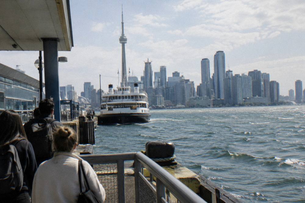
Yes, and the ferry is the only way: the trail passes the Jack Layton Ferry Terminal at the foot of Bay Street, and bicycles are welcome on board at no extra charge, though you walk them on and off and Bike Share bikes are not permitted. The adult round-trip fare is $9.57 in Canadian dollars, and since 14 October 2026 winter service runs to Ward's Island only until mid-April 2027.
The islands are the natural extension of any waterfront ride, and the ferry rules are worth knowing before you commit. The City's ferry ticket page lists round-trip fares of $9.57 for adults, $6.15 for older adults and youth, $4.51 for juniors and free for infants under two, all in Canadian dollars. Bicycles board with the general rules quoted above. E-bikes are welcome at the discretion of staff, must be fully powered off on board, cannot be charged on the ferry or at the terminal, and riders with larger e-bikes, roughly 40 kilograms and over, may be asked to use the vehicle ferry. If you'd rather stay close to the dock so the islands feel like part of your daily loop, the guide to Toronto's best neighbourhoods for a cycling base compares your options near the terminal and the trail.
Seasonal service shapes the whole plan. Full three-route service to Centre Island, Hanlan's Point and Ward's Island runs mid-May to mid-September, with reduced service on the shoulders in spring and fall. From 14 October 2026 the winter schedule runs Ward's Island only, with frequent departures from the city starting around 6:30 a.m. and the last sailing near 11:45 p.m., continuing until mid-April 2027. Two new electric ferries, the Lady of the Quays and the Toronto Islander, are due to enter service from 2027, the first new vessels in more than 60 years. Riders planning an island leg should confirm sailings on the City ferry schedule page, and the fuller logistics are covered in the guide to the Toronto Island ferry with a bike.
| Ferry fare category | Round-trip price, Canadian dollars |
|---|---|
| Adult, 20 to 64 | $9.57 |
| Older adult, 65 and over | $6.15 |
| Youth, 15 to 19 | $6.15 |
| Junior, 2 to 14 | $4.51 |
| Infant, under 2 | Free |
This is exactly the trip where a guided ride earns its keep, because the guide buys the ferry fares as part of the package and times the sailing against the crowd. The waterfront and islands guided bicycle tour lists 3.5 hours and crosses to the island network of paved and gravel trails after riding the mainland waterfront. Its price and what the fee covers sit on the booking page. For the planning fundamentals, including the ferry rules summarized above, first-time visitors can simply follow the route logic above, since the trail, the terminal and the island paths connect without any street riding to speak of.
When Is The Best Season To Ride The Waterfront Trail?
By the 1991 to 2020 climate normals for Toronto City, the sweet spots are June through September, when average highs run from 24.2 to 27.0 C and monthly precipitation stays near the values in the table below, and the shoulder months of May and October, at 18.8 C and 14.6 C average highs, offer cooler riding with 76.4 mm and 69.1 mm of rain respectively.
The normals are averages, not forecasts, but they describe the riding year well. July is the warmest month, at a 27.0 C average high and 76.5 mm of precipitation across 8.2 days with a millimetre or more of rain. The crowd cost of that warmth lands on the central trail sections described above. May and October split the difference nicely: average highs of 18.8 C and 14.6 C respectively, with 9.3 and 8.3 days of measurable rain each, and noticeably thinner traffic on the path.
Winter riding is real but committed. January averages a high of -0.3 C against a low of -6.7 C, with 64.6 mm of precipitation, and February is marginally milder. The trail itself is year-round, and late October 2026 even produced a record-warm day near 22.2 C at Pearson, breaking a 1946 daily record, a reminder that shoulder-season surprises happen in both directions. Riders weighing the calendar against conditions can go deeper in the guide on the best time of year to cycle in Toronto.
| Month | Avg high C | Avg low C | Precip mm |
|---|---|---|---|
| May | 18.8 | 10.0 | 76.4 |
| June | 24.2 | 15.3 | 81.6 |
| July | 27.0 | 18.1 | 76.5 |
| August | 26.1 | 17.7 | 71.9 |
| September | 22.0 | 13.8 | 69.4 |
| October | 14.6 | 7.7 | 69.1 |
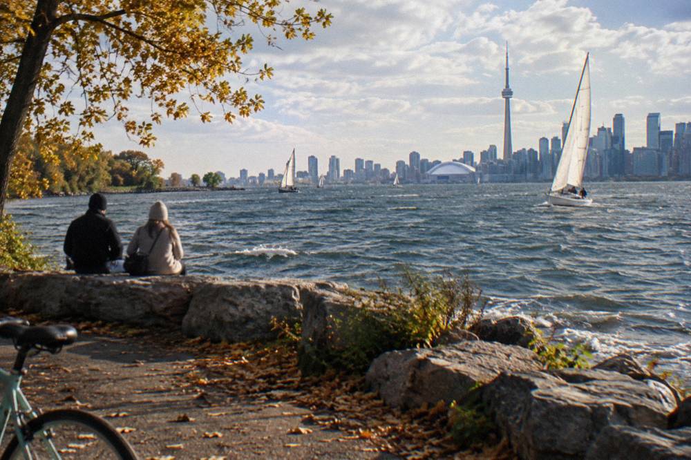
Season also changes which guided ride makes sense. In the heat of summer, the morning and twilight departures of the Islands morning or twilight ride dodge both the midday sun and the peak trail traffic, and the listing states a 3.5-hour duration. Riders who would rather not arrive at the ferry with their own bike arrangements at all can compare against an e-bike option: the e-bike ride through Toronto's neighbourhoods also lists 3.5 hours and trades some waterfront distance for motor assistance on the climbs away from the lake. Pricing and inclusions for both are on their booking pages.
What Can You Do Along The Trail For Free?
The trail itself is free to ride, and the verified free stops include the Toronto Music Garden's summer concert series, which ran Thursdays at 7 p.m. and Sundays at 4 p.m. from June 21 to August 27, 2026, and the Distillery District's car-free lanes outside its ticketed winter hours, with the Winter Village running November 12, 2026 to January 3, 2027.
The Toronto Music Garden at 479 Queens Quay West sits directly on the trail, and its Summer Music in the Garden series offered free live performances by more than 20 Canadian artists across the 2026 season. Timing a ride to arrive before a Thursday evening concert turns an ordinary waterfront outing into something you would otherwise pay for. The garden itself is free to wander at any time.
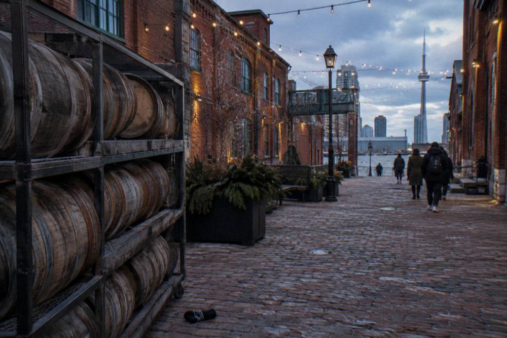
East of the downtown core, the Distillery Historic District at 55 Mill Street is a short hop from the eastern trail, and it is pedestrian-only, which makes it a natural bike-and-lock stop. The Winter Village has ticketed entry at peak times, from roughly $16 for general admission on opening night, Friday to Sunday evenings after 4 p.m., Thursdays in December after 4 p.m., and daily after 4 p.m. from December 14 to 31, but entry is free all day Monday to Wednesday through December 13 and at other off-peak times. The 2026 Village adds an immersive Nutcracker experience and a chocolate fountain, and the tree lighting is November 12 at 6 p.m.
Note the ferry caveat from earlier: the islands are reached by a paid ferry, so they are not a free stop, and Bike Share is a paid service rather than free transport. The genuinely free lakefront experiences are the trail, the parks it threads through, and events like the Music Garden series. Beyond the waterfront, seasonal markets and car-free street events around the city reward a rider willing to pedal a few extra blocks.
Should You Ride The Trail Alone Or Book A Guided Ride?
Riding alone costs nothing but the bike and gives you full control of pace and stops, while a guided ride, at the 3 to 3.5-hour durations the listings state, adds route knowledge through the 2026 construction zones, ferry handling for the island leg, and snacks or equipment per each listing's inclusions. Riders confident on a multi-use path can self-guide; first-time visitors covering trail plus islands in one day usually come out ahead with a guide.
The self-guided case is straightforward. The trail is continuous, signed and flat along the lake, the ferry takes walk-on bikes, and the City publishes the schedule and fares. The costs are time and friction: the Parliament detour is easy to miss, the ferry queues in summer can be long, and you carry your own repair kit and water. Ontario law requires riders under 18 to wear an approved helmet, and bikes need a bell or horn plus lights at night, rules worth reviewing on the Ontario bicycle safety page before you set out.
The guided case rests on density. A 3.5-hour guided outing compresses the trail, the ferry and the island paths into one logistics-free block, and the downtown options extend the same idea into the neighbourhoods. The Heart of Downtown ride with snacks included lists 3.5 hours and pairs the core with refreshments per its listing. This site, Bike Tours Toronto, covers those downtown and island options in detail elsewhere, because the trail is the connective tissue between them.
| Option | Stated duration | Bike type | What the listing adds |
|---|---|---|---|
| Waterfront and Islands guided bicycle tour | 3.5 hours | Classic bike | Trail, ferry and island paths in one guided outing |
| Islands morning or twilight ride | 3.5 hours | Classic bike | Timed departures around peak heat and crowds |
| E-bike through Toronto's dynamic neighbourhoods | 3.5 hours | E-bike | Motor assistance for routes beyond the flat lakefront |
One comparison note: several listings under different booking pages are the same operator products, including the downtown, islands morning and e-bike rides, so treat price differences between them as listing differences rather than differences between operators. Riders torn between the formats should weigh how much of the trail they actually want to cover against how much they want a guide to absorb the ferry and detour logistics for them.
Common Questions About The Martin Goodman Trail
Where Does The Martin Goodman Trail Start And End?
The trail runs more than 20 km along Toronto's waterfront from the western beaches to the eastern beaches, completing one continuous lakefront route with the 2019 Unwin Avenue section. The far eastern Rouge Beach connection is closed with a signed detour, with full reopening expected in 2027.
Is The Martin Goodman Trail Closed Anywhere In 2026?
The Parliament Street section is closed from 22 April to 31 December 2026 for the Queens Quay East realignment, with a temporary two-way protected lane on concrete barriers as the detour. Port Union Waterfront Park has intermittent trail detours through late November 2026.
Can You Bike From The Martin Goodman Trail To The Toronto Islands?
Yes, via the ferry from the Jack Layton Ferry Terminal, which the trail passes. Bicycles are welcome on board, walked on and off, at no separate bike charge, though Bike Share bikes are not permitted. Since 14 October 2026, winter service runs to Ward's Island only until mid-April 2027.
How Much Does The Ferry To The Islands Cost?
Round-trip fares in Canadian dollars are $9.57 for adults, $6.15 for older adults and youth, $4.51 for juniors and free for infants under two. Guided island rides include the ferry in their package.
When Is The Best Time Of Year To Ride The Trail?
June through September has the warmest average highs, 24.2 to 27.0 C, with modest rainfall. May and October offer cooler riding at 18.8 C and 14.6 C average highs with thinner crowds, and the trail itself stays open year-round.
Is The Martin Goodman Trail Good For Beginners?
The lakefront route is flat and continuous, which suits beginners, but the central Harbourfront to Ontario Place section gets crowded in summer and slows everyone to walking pace. Early mornings and the wider eastern and western sections are the comfortable choices for new riders.