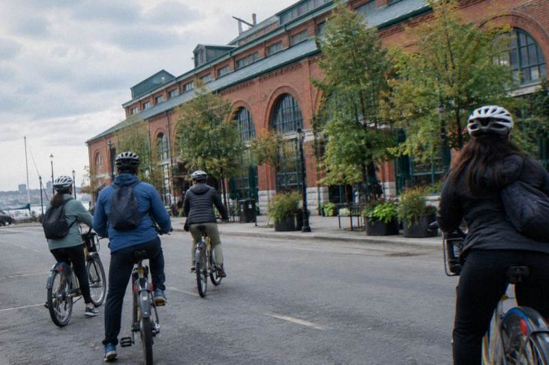
Toronto Bike Lanes And Bike Path Map: Where To Ride
Toronto's cycling network is a patchwork: protected cycle tracks downtown, painted lanes on busy streets, and hundreds of kilometres of off-road trail along the water. Knowing which is which is the difference between a confident ride and a stressful one.
Short answer
As of December 2025 Toronto had 110.1 km of cycle tracks, 143.8 km of painted bike lanes and 399.3 km of multi-use trails. The province removed 1.2 km of protected lanes on Bloor Street West on 30 October 2026 and has an RFP out covering about 19 km more, with work possibly from spring 2027. Trails remain the steadiest riding.
Toronto's cycling network grew in fits and starts for three decades, and it shows. A rider can leave a physically separated cycle track, spend two blocks in a painted lane shared with opening car doors, then drop onto a lakeshore trail where the only traffic is joggers and geese. The city counted 346 km of on-street cycling facilities and 399.3 km of multi-use trails as of December 2025, but those two numbers feel like different cities depending on where you are standing. Where that patchwork leaves Toronto in the national pecking order depends on who is counting, so see which Canadian city actually earns the bike-friendly crown for a closer look at the competing claims.
That patchwork is exactly why this page exists, and why Bike Tours Toronto spends so much of its planning effort on routing rather than on anything else. A visitor who understands the difference between a cycle track and a sharrow, and who knows which corridors are in flux in 2026 and 2027, rides calmer and covers more ground. This guide walks through the network as it stands, what is changing, and where a guided route does the stitching for you.
How Many Bike Lanes Does Toronto Actually Have?
As of December 2025, the city's own network status page counted 110.1 km of cycle tracks, 143.8 km of conventional bicycle lanes, 92.1 km of sharrows and 399.3 km of multi-use trails, for an on-street total of 346 km. The same page is the city's official tally, and it is the only source worth trusting for the current figure. Growth continues, but so do removals.
The breakdown matters more than the headline. Cycle tracks are physically separated from cars by curbs, planters or bollards, and they are where most visitors want to spend their time. Conventional bicycle lanes are paint only. Sharrows, the shared-lane arrows, are a sign that bikes are legal on the street rather than a facility at all, and experienced route planners treat them as ordinary road. The city's network status page is refreshed as projects open or close, and it distinguishes each type.

For a visitor, the practical read is that the protected network is concentrated downtown and along the water, while the outer neighbourhoods lean on paint and trail. That concentration shapes almost every good Toronto route: start near the lake, use the spine of protected lanes and trail to move east and west, and venture onto side streets only when a destination demands it.
It also explains why two riders can describe the same city so differently. Someone whose day was spent on the waterfront trail and the Islands comes home calling Toronto a cycling city. Someone who spent it threading painted lanes on a wide arterial comes home with a different story. Both rode the same network of 346 on-street kilometres; they simply used different fractions of it. Route selection, not the raw kilometre count, decides which experience you get.
| Facility type | Kilometres | What it is | Comfort level for a new rider |
|---|---|---|---|
| Multi-use trails | 399.3 | Off-road paths shared with pedestrians | High, away from traffic |
| Bicycle lanes | 143.8 | Painted lanes on street | Medium |
| Cycle tracks | 110.1 | Lanes separated by curbs or bollards | High where present |
| Sharrows | 92.1 | Shared-lane markings, no dedicated space | Same as ordinary street |
What Is The Difference Between Cycle Tracks, Bike Lanes And Trails?
A cycle track is separated from motor traffic by something physical, a bike lane is paint on the road, and a multi-use trail is off-road entirely and shared with pedestrians. Ontario law also sets the equipment baseline regardless of facility: a bell or horn, and after dark a white front light and a red rear light or reflector. Riders under 18 must wear an approved helmet.
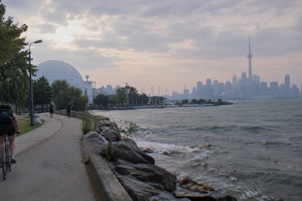
The distinction is not cosmetic. Painted lanes offer no protection from a door opening or a car turning across them, so they demand more attention, especially at intersections where most conflicts happen. Cycle tracks handle intersections with their own signal phases or protective geometry in the better examples, though not universally. Trails remove the car almost completely, and in Toronto they carry the bulk of relaxed family riding, which is why the Martin Goodman Trail's 20-plus km along the waterfront is the single most useful car-light corridor in the city. Our Martin Goodman Trail cycling guide covers it in detail.
The legal furniture is the same everywhere. The province's bicycle safety page sets out the helmet rule for riders under 18, the required bell or horn, the lighting rules for night riding, and the sidewalk prohibition, with an exception that lets children under 10 ride on the sidewalk. E-bikes add their own layer: the rider must be 16 or older, must wear an approved helmet, and the machine is capped at a 32 km/h assisted speed, a 500 watt motor and 120 kg total weight under the Ontario e-bike rules.
Choosing between a regular bike and an e-bike for this network is its own question, and the hills are mild enough that either works. The trade-offs, battery ranges and legal quirks are laid out in our e-bike versus regular bike comparison if that decision is on your list.
Guided rides exist largely because of this tangle. The 3.5-hour Heart of Downtown ride, snacks included, is built around lanes that actually connect, and the operator's route keeps the group on the calmer infrastructure between neighbourhood stops. The waterfront and Islands ride leans the other way, spending its time on trail and ferry rather than street, and the downtown twin listing covers the same operator product on a separate booking page. Prices sit on each booking page rather than in this guide, since they move with season and demand.
Where Are The Best Protected Routes To Ride In Toronto?
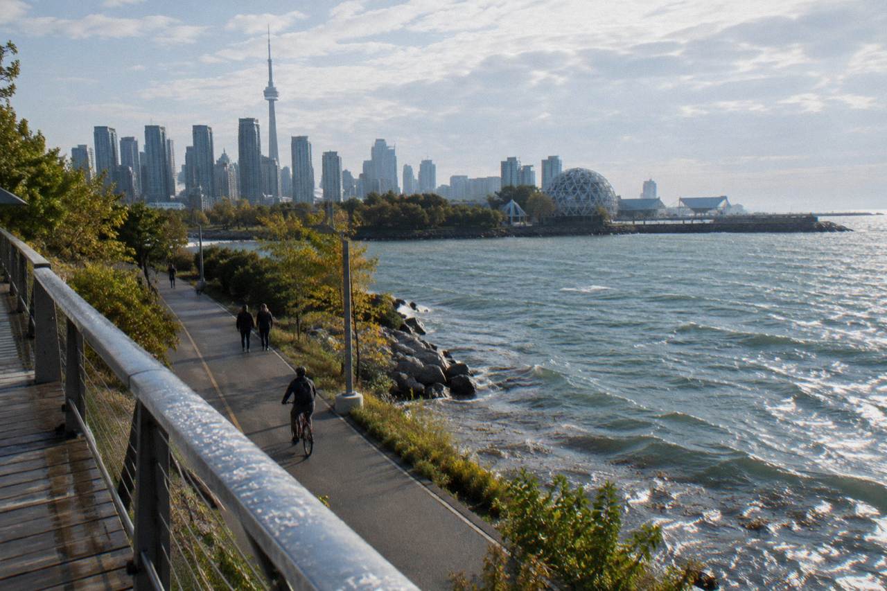
The waterfront is the spine. The Martin Goodman Trail runs more than 20 km from the western beaches to the eastern ones, and it links directly into the Island ferries, the Distillery District approach and the Don Valley trails. Downtown, the protected grid is densest between the lake and Bloor, which is why nearly every commercial guided ride concentrates there.
Start any planning with the water. The trail is paved, multi-use and continuous, and it removes the two hardest problems in Toronto cycling, navigation and traffic, in one stroke. Off the waterfront, the protected network fans out through the downtown core, and it is dense enough that a rider who knows the connections can cross the centre without ever sharing a lane with moving cars. A rider who does not know the connections tends to end up on a wide arterial instead, which is the outcome every good route avoids.
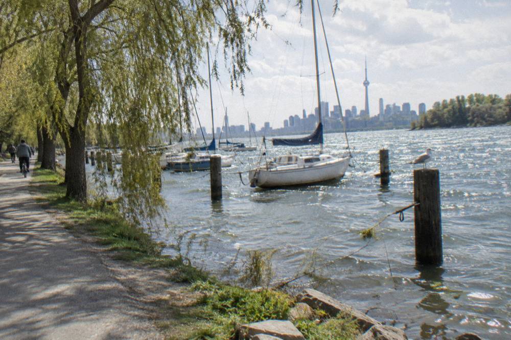
The Islands deserve their own sentence in any routing conversation. No private cars run there, the trails are paved and gravel and flat, and the ferry connects from the foot of Bay Street. Our guide to the Island ferry with a bike has the fares and the seasonal schedules; the short version is that bicycles ride free of any bike charge, walk-on and walk-off, while Bike Share bikes stay on the mainland.
Ravine routes add a third flavour. The Don Valley trails and the routes around Evergreen Brick Works run through a green corridor that feels far from a downtown of three million people, and the East Don Trail's first 3.3 km phase opened on 13 July 2026, linking sections east of Don Mills Road to Bermondsey Road and tying into The Meadoway. Between the waterfront, the Islands and the ravines, a visitor can assemble several full days of riding that barely touch a painted lane.
| Corridor | Character | Best for |
|---|---|---|
| Martin Goodman Trail, west end | Lakeshore, off-road, beaches | Long steady rides, families |
| Martin Goodman Trail, harbourfront | Busiest section, walkers | Sightseeing at an easy pace |
| Downtown protected grid | Cycle tracks between the lake and Bloor | Neighbourhood hopping |
| Toronto Island trails | Car-free, flat, paved and gravel | The calmest riding in the city |
| Don Valley and Brick Works routes | Ravine trails, green tunnel | Nature within the city |
One construction note for 2026: the Martin Goodman Trail on Parliament Street, between Merchant's Wharf and Lake Shore Boulevard East, is closed from 22 April to 31 December 2026, with a temporary two-way protected lane carrying riders through the Quayside works. The detour is signed, but it is a reminder that even the waterfront spine has moving parts. Checking current conditions before a long ride is simply part of Toronto cycling, and the waterfront trail riding guide tracks the pieces of that route.
The guided option shines exactly here. The Heart of Downtown guided ride exists because the protected grid connects well only if you know the turns, and a guide who rides it weekly takes the guesswork out. Snacks come with the tour, the listing states 3.5 hours, and the booking page carries the current price, the meeting point and what else is included.
What Is Happening To The Bloor, Yonge And University Bike Lanes?
The province completed removal of the 1.2 km protected lanes on Bloor Street West in Etobicoke on 30 October 2026. An Ontario Court of Appeal ruling on 14 August 2026 upheld the law behind the removals, and an RFP covering about 19 km of Bloor, Yonge, University, Queen's Park and Avenue Road closed in late 2026, with awards targeted for mid-December 2026 and work possibly from spring 2027.
These are plans, not finished outcomes, and the distinction matters for anyone routing through the core. The RFP asks for design options and costing to restore vehicle lanes while identifying opportunities to retain or reconfigure bike lanes, which means the final geometry of those corridors is genuinely undecided. What is settled is the Etobicoke section: the curbs, delineators and signage are gone, and that stretch is no longer protected riding. The province's own release on the completion is the primary source.
There is legal movement too. Cycling advocates announced on 13 October 2026 that they would seek leave to appeal the August ruling to the Supreme Court of Canada, arguing unresolved Charter questions of national importance. That process runs on its own long timeline and changes nothing on the ground in the meantime. A visitor planning a ride should treat the corridor map as it stands today, not as any court might eventually reshape it.
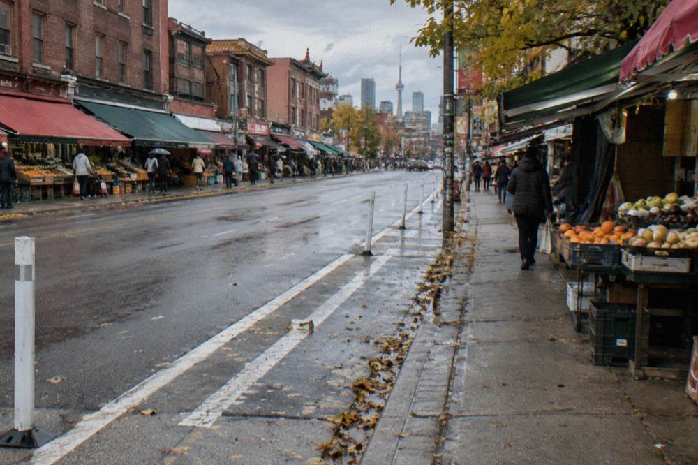
For a visitor, none of this requires abandoning the core. The affected corridors are specific, the removals so far total 1.2 km, and the downtown grid between the lake and Bloor retains its protected spine. What it does mean is that any route description older than autumn 2026 deserves a second check, and that a guided ride's value rises when the infrastructure itself is a moving target. Operators re-route as conditions change; a printed itinerary does not.
The e-bike neighbourhoods ride is one answer to a network in flux. The listing describes 3.5 hours through several districts on pedal-assist bikes, which flattens both the terrain and the occasional detour, and the booking page lists the current price and meeting arrangements. It shares the network with every other rider, but the assist buys back the energy a reroute costs.
Which Streets Need Extra Care, And Where Should New Riders Go Instead?
No street in Toronto is uniformly safe or unsafe, and conditions change block by block, so any honest guide avoids verdicts. The pattern worth knowing is structural: wide multi-lane arterials with right-turning traffic ask for more skill anywhere, quiet side streets and off-road trails ask for less, and intersections are where attention pays off regardless of facility.
Riding predictably, holding a straight line, and taking the lane when a painted lane disappears are the habits that matter on shared road. On trail, the etiquette flips: pedestrians have priority, a bell before passing is both courteous and legally required equipment, and the harbourfront section of the Martin Goodman Trail runs busy enough in summer that a patient pace is the realistic one. Summer normals back that up: July averages a high of 27 C and June through August each average seven to eight days with a millimetre or more of rain, so trails fill whenever the sun is out.
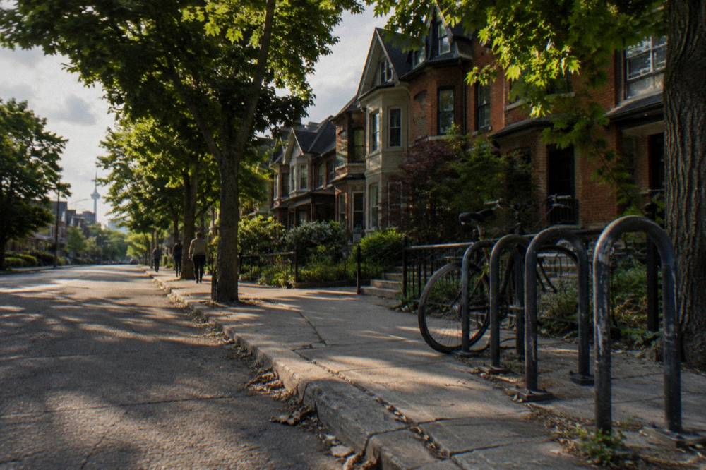
New riders and families should simply weight the day toward trail. The Islands, the ravine routes and the outer stretches of the waterfront path deliver the city without the arterials, and the network numbers from earlier explain why: 399.3 km of multi-use trail dwarfs the 110.1 km of cycle track, and the trail kilometres are where the cars are not. Riders ready for a longer look at seasonal timing, including which months the normals favour, can pull details from our seasonal cycling guide.
Weather planning deserves a sentence of its own. The shoulder months are quietly excellent: September averages a high of 22 C with 7.7 days of meaningful rain, and May sits at 18.6 C with 9.3. Midsummer heat, with July and August highs around 26 to 27 C, argues for morning departures and the shade of the ravine routes. Winter riding is possible on the paved trail network, but January's average high of -0.3 C and its 10.5 days of precipitation make it a committed rider's game.
| Situation | Habit that helps |
|---|---|
| Painted lane with parked cars | Ride a door's width from the curb |
| Intersection with right-turning traffic | Make eye contact, hold position |
| Busy shared trail | Bell early, pass slow, yield to walkers |
| Lane ends mid-block | Check behind, take the lane calmly |
| Night riding | White front and red rear light, required by law |
Why Does A Guided Ride Make The Patchwork Easier?
A guided ride converts the network from a research project into a following exercise: the guide picks the connecting lanes, times the crossings, adjusts for construction and season, and carries the local knowledge that no map layer shows. For a visitor with one or two riding days, that trade is usually worth the ticket price, and the snacks, bike and route come bundled. If that trade sounds right for your trip, our plain-language guide to booking a private guided bike ride in Toronto covers who private rides suit, what the current options actually offer, and what to ask before you book.
Consider what a self-guided visitor absorbs before rolling: which corridors are protected, which lost protection in October 2026, where the Parliament Street detour runs, how the ferry schedule shifts to Ward's Island only in winter, and which neighbourhood streets dead-end at an arterial. A guide compresses all of it into the simple act of following. That is also why the commercial rides cluster downtown and on the waterfront: those are the places where the stitching is best and the payoff is biggest.
The ferry wrinkle alone justifies the phrase "moving target". Winter service from 14 October 2026 runs to Ward's Island only, until mid-April 2027, with first departures around 6:30 a.m. from the city and roughly 15-minute frequency through the day. Full three-route service returns mid-May and runs to mid-September. An operator building routes week to week folds those shifts in silently; a visitor with a screenshot of a summer schedule does not.
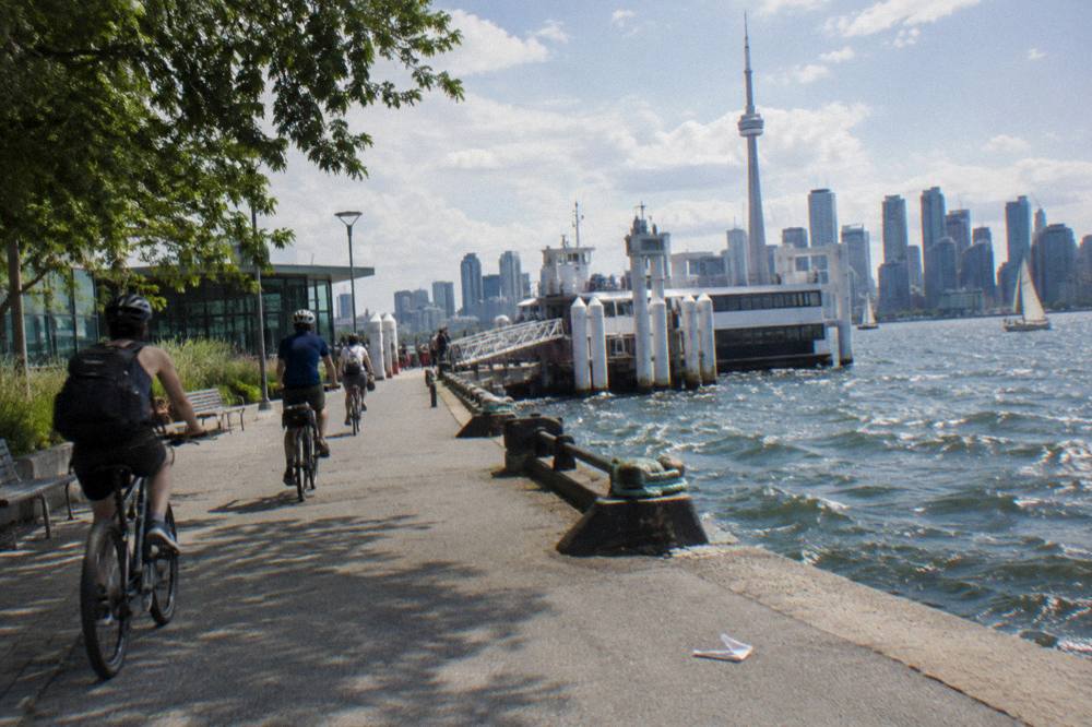
The Islands morning or twilight ride shows the logic in its purest form: car-free trails, a guide who knows the ferry timing, and a departure window chosen for light rather than for logistics. The listing describes 3.5 hours, and the booking page holds the price, the meeting point and the seasonal schedule. Timing around the ferry matters more in winter, when only Ward's Island receives service until mid-April 2027, and an operator tracks those shifts so a visitor does not have to.
Common Questions About Toronto Bike Lanes And Paths
How Many Bike Lanes Does Toronto Have?
As of December 2025, the city counted 110.1 km of cycle tracks, 143.8 km of painted bicycle lanes, 92.1 km of sharrows and 399.3 km of multi-use trails, for 346 km of on-street facilities. The city's network status page is the authoritative tally and is updated as projects open or close.
Are Toronto's Protected Bike Lanes Being Removed?
The 1.2 km protected lanes on Bloor Street West in Etobicoke were removed, completed 30 October 2026. A provincial RFP covering about 19 km on Bloor, Yonge, University, Queen's Park and Avenue Road closed in late 2026, with awards targeted for mid-December 2026 and possible construction from spring 2027. These are plans, and the final layout is not settled.
Is The Martin Goodman Trail Closed Anywhere?
The section on Parliament Street, between Merchant's Wharf and Lake Shore Boulevard East, is closed from 22 April to 31 December 2026 for the Quayside works, with a temporary two-way protected lane as the detour. The rest of the 20-plus km waterfront trail remains open.
Can I Ride My Bike To The Toronto Islands?
Yes. Bicycles are welcome on the Island ferry at no bike charge; you walk them on and off. Bike Share bicycles are not permitted on the ferries, and e-bikes travel at staff discretion, powered off, with larger e-bikes around 40 kg and over possibly directed to the vehicle ferry.
Do I Need A Helmet To Ride In Toronto?
Ontario law requires an approved helmet for cyclists under 18. Adults ride legally without one, though the province sets equipment rules for everyone: a bell or horn, and after dark a white front light plus a red rear light or reflector.
Where Is The Easiest Place In Toronto To Ride A Bike?
The Toronto Islands are car-free and flat, and the off-road Martin Goodman Trail along the waterfront runs more than 20 km with no through traffic. Together with the ravine trails, these carry most of the relaxed riding in the city.