Cycling In Toronto As A Visitor: Lanes, Trails And Etiquette
Toronto is a big, busy city that also happens to hold 346 km of on-street cycling infrastructure and 399.3 km of multi-use trails, and knowing which parts of that network to ride changes the whole experience for a first-time visitor.
Short answer
Toronto has 110.1 km of cycle tracks, 143.8 km of bicycle lanes and 399.3 km of multi-use trails as of December 2025. Helmets are mandatory under 18, sidewalk riding is off limits above age 10, and guided 3.5-hour downtown rides with snacks start from $84 per person, or $87 for the Heart of Downtown option.
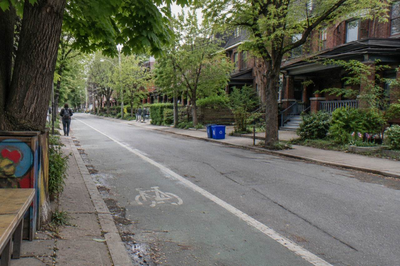
Riding a bicycle in Toronto for the first time is a different experience depending entirely on which street you are on. One block puts you on a separated cycle track with concrete or planters between you and traffic; the next puts you in a painted lane that cars treat as a parking zone; the next has nothing but a shared-lane marking and your own judgement. The city counted 346 km of on-street cycling infrastructure and 399.3 km of multi-use trails as of December 2025, which is a genuinely large network for a visitor to inherit. The skill is knowing which piece of it you are on, and adjusting.
This guide covers what a first-timer actually encounters: where the protected lanes sit, what the law asks of you, how shared trails work, and when it makes sense to let a local guide pick the route instead. It leans on the verified network figures, Ontario's cycling rules and the 2026 infrastructure news, and it stays away from safety statistics, because those do not help you ride a bike down a street tomorrow.
What Is Cycling In Toronto Really Like For A First-Timer?
The honest answer is that it is two cities: the waterfront and trail network feels relaxed and almost suburban, while downtown arterials mix protected tracks with busy shared roads, so a first-timer who routes along the water has an easy day and one who routes along a major street does not. Toronto's on-street network is a patchwork rather than a grid, with 110.1 km of physically separated cycle tracks, 143.8 km of painted bicycle lanes and 92.1 km of sharrows as of December 2025, and they connect to each other unevenly. The learning curve is short, but it exists.
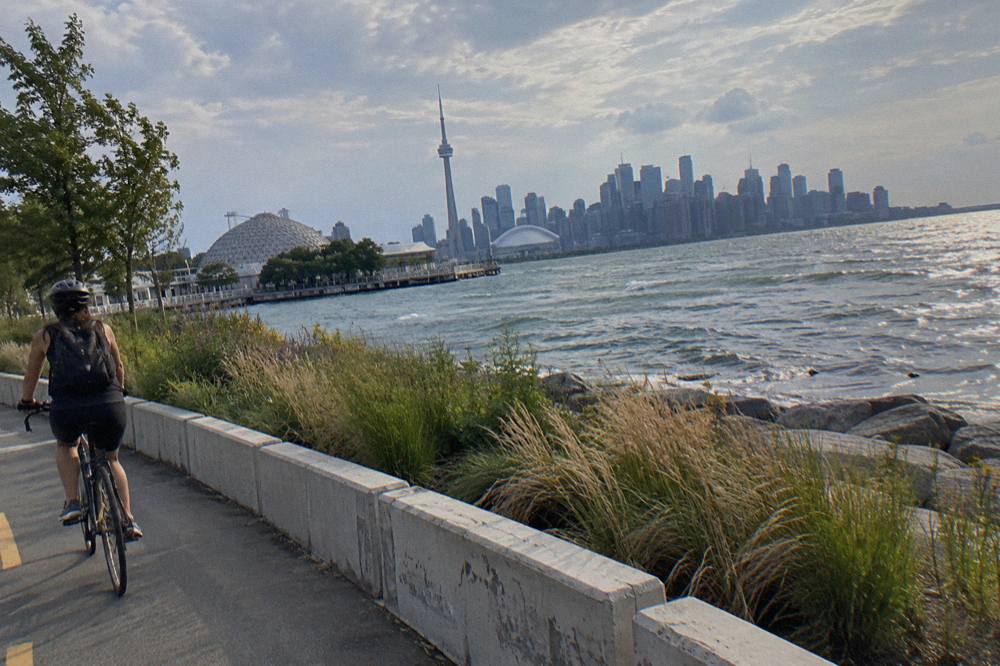
The first thing that surprises most visitors is how quickly the city gives way to trail. The Martin Goodman Trail alone runs more than 20 km along the waterfront from the western to the eastern beaches, and it is part of a network of over 300 km of trails inside the city limits. You can ride from the Humber Bay area to the Beaches almost entirely off-road, with the lake on one side the whole way. That single route does more for a nervous first-timer than any amount of downtown lane-hunting.
Downtown is where the patchwork shows. Some corridors have proper separation, some have paint, and some gaps dump you onto a wide street with streetcar tracks and turning buses. Streetcar tracks deserve a specific mention: their rails are wide enough to catch a narrow road tyre, so cross them at a sharp angle, never parallel. Every experienced Toronto cyclist learns this eventually, ideally not the hard way.
The other thing worth knowing before you go is that the network is currently in flux. Ontario completed removing the protected bike lanes on a 1.2 km stretch of Bloor Street West in Etobicoke on 30 October 2026, the first removal under the provincial plan, and a request for proposals covering roughly 19 km of Bloor, Yonge, University, Queen's Park and Avenue Road closed toward the end of 2026 with construction possible from spring 2027. Route conditions on those corridors can change between your planning and your visit, which is one quiet argument for a guided ride where the operator already knows the current state of each street.
Where Are The Protected Bike Lanes In Toronto?
The most useful separated riding for a visitor clusters on the waterfront and the downtown core: the Martin Goodman Trail and Queens Quay corridor in the west-to-east direction, the neighbourhood routes through Kensington, Chinatown and the Annex, and the islands, which have no private cars at all. The city's own network status page publishes the kilometre counts by facility type and is the honest source for what exists, because the map changes as projects finish and, lately, as lanes come out.
Concentrate on three zones and you cover most of what a visitor wants. First, the waterfront: the Martin Goodman Trail is paved, off-road and continuous, and its busiest section runs between the Harbourfront and Ontario Place. Second, the downtown neighbourhoods immediately north of downtown, where a grid of quieter residential streets and shorter protected links lets you reach Kensington Market, Chinatown and the University of Toronto without riding an arterial. Third, the Toronto Islands, a car-free park where the riding stress drops to nearly nothing and the ferry, bikes welcome aboard, is part of the fun.
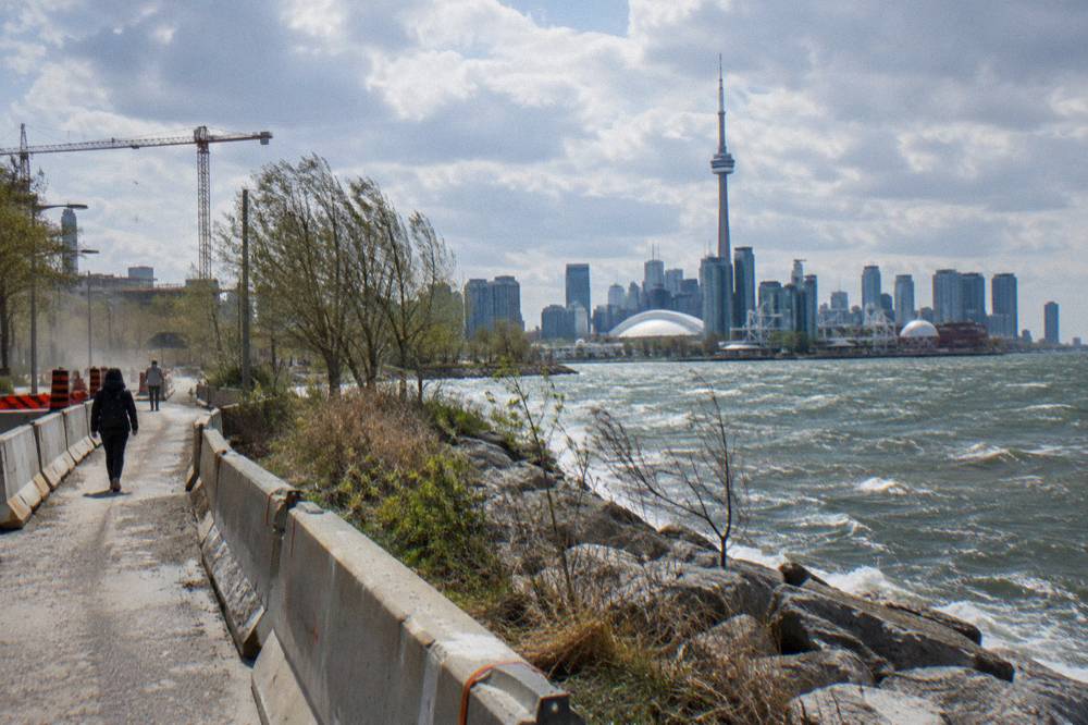
One 2026 detail matters if your route passes the eastern waterfront. The Martin Goodman Trail on Parliament Street, between Merchant's Wharf and Lake Shore Boulevard East, closed on 22 April 2026 and stays closed through 31 December 2026 while the Queens Quay East realignment proceeds. Riders are shifted onto a temporary bi-directional lane separated by concrete barriers, so the through-route works, it just looks and rides like a construction detour, because it is one. If you are riding east toward the Port Lands or the Beaches, expect that section and follow the barriers.
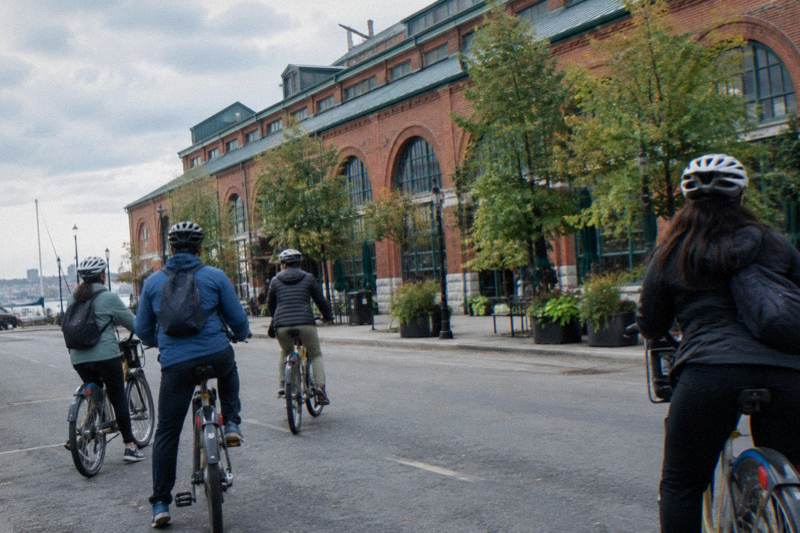
A guided ride sidesteps all of this route-selection work. The Heart of Downtown Ride, snacks included, runs 3.5 hours from $87 per person, and an operator-led route is exactly how a nervous first-timer ends up on the calm streets without studying a map first.
For riders who want the trail experience on their own, our Martin Goodman Trail cycling guide breaks the waterfront route into rideable stages, and the Toronto waterfront trail by bike page covers access points and what to expect along the water.

What Cycling Rules Must A Visitor Follow In Toronto?
Ontario law requires helmets for riders under 18, a bell or horn, and front white and rear red lights or reflectors at night; riding on sidewalks is not allowed except for children under 10, and e-bike riders must be 16 or older with a helmet, capped at 32 km/h assisted speed. Toronto has no separate municipal rulebook for visiting cyclists; the provincial rules apply, and the city enforces the sidewalk restriction through its own bylaw. Read them once and you are covered. Since the sidewalk rule is the one that raises the most questions, our guide to sidewalk cycling in Toronto covers the exceptions and how to handle busy downtown streets.
The full equipment list from the Ontario bicycle safety page is short: an approved helmet if you are under 18, a bell or horn, a white front light and a red rear light or reflector for riding between half an hour before sunset and half an hour after sunrise, and reflective tape on the front forks. Rental bikes from a reputable shop come with the legal kit; check the bell before you roll out, because it is your main communication tool on a shared trail.
E-bikes carry their own set. Per the Ontario e-bike rules, the rider must be at least 16 and wear an approved helmet, the motor cannot exceed 500 watts, assisted speed tops out at 32 km/h, and the whole machine must weigh no more than 120 kg. If you take an e-bike to the islands, the ferry staff can ask that larger machines, roughly 40 kg and over, travel on the vehicle ferry instead, and e-bikes must stay powered off on board. Our longer comparison, e-bike or regular bike on a Toronto tour, works through the choice in detail.
| Rule | What Ontario law says | Who it applies to |
|---|---|---|
| Helmet | Approved bicycle helmet mandatory | All cyclists under 18 |
| Bell or horn | Required equipment on every bike | All riders |
| Lights | White front light, red rear light or reflector, at night | All riders, night use |
| Sidewalks | Riding on sidewalks not allowed | Riders 10 and over |
| E-bike age and helmet | Minimum age 16, approved helmet required | All e-bike riders |
| E-bike limits | 32 km/h max assisted speed, 500 W motor, 120 kg max weight | All e-bike riders |
Etiquette is where visitors most often trip up, and no statistics are needed to describe it. On a multi-use trail like the Martin Goodman, the working conventions are simple: keep right, pass on the left, ring or call out before passing pedestrians, and do not ride shoulder to shoulder in a group when the trail is busy. The waterfront trail mixes fast cyclists, joggers, rollerbladers and families with strollers on summer weekends, and the friction is almost always about speed and warning, not malice. Slow down where the trail narrows near the Harbourfront and you will be fine.
Streetcar tracks deserve their repeat mention under rules, because they are the one Toronto-specific hazard with no signage. Cross rails at as close to a right angle as you can manage, and never let your tyre run parallel along a rail groove. Wet rails are worse. Every local rider has a story; you do not need one.
Which Trails Should A Visitor Ride First?
Start with the Martin Goodman Trail along the waterfront, then take the ferry to the Toronto Islands for a car-free loop, and only then decide whether the eastern or western trail extensions toward the Beaches or the Humber fit your day. That sequence gives a first-timer the three best low-stress experiences in the city in one logical order, and each connects to the next. None of it requires riding a busy arterial.
The Martin Goodman is the spine. Paved, mostly flat and running beside the lake, it carries you past the Harbourfront, Ontario Place, the Music Garden and the western beaches. The temporary detour on Parliament Street, described above, applies if you continue east. The Toronto Music Garden at 479 Queens Quay West hosted free summer concerts on Thursday evenings and Sunday afternoons through the 2026 season, a nice reward stop if you time a summer ride around one.
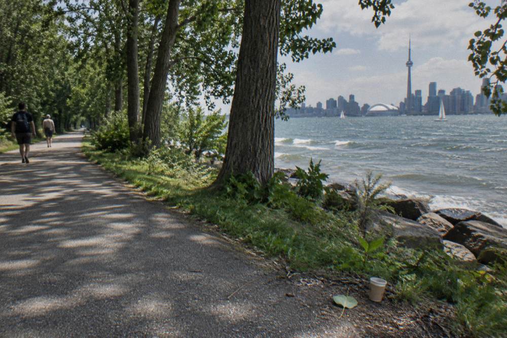
The islands are the crown jewel for a first-time visitor precisely because there is nothing to negotiate. Private cars are not permitted, the trails are a mix of paved and gravel, and the ferry ride over is a legitimate attraction in its own right. The ferry is not free: round-trip fares run $9.57 for an adult in Canadian dollars, with lower fares for older adults, youth and juniors, and bicycles are welcome on board as long as you walk them on and off. Bike Share bicycles are not permitted on the ferries, which matters if you were planning to dock-share your way over. From 14 October 2026 through mid-April 2027, winter service runs to Ward's Island only, so an off-season islands ride starts from a different dock than the summer one.
If you would rather have the islands delivered than self-navigate them, the 3.5-hour Waterfront and Islands guided ride bundles the trail and the crossing into one guided loop, and the timing choice below covers the morning and twilight versions.
For a different register entirely, the Don Valley offers forested trail riding surprisingly close to downtown, and the first 3.3 km phase of the East Don Trail opened on 13 July 2026, linking sections east of Don Mills Road to Bermondsey Road and tying into the wider valley network. Our Evergreen Brick Works and the Don Valley by bike guide covers how to reach the valley from downtown without an arterial slog.
| Trail or area | Surface | Traffic stress for a beginner | Notes for visitors |
|---|---|---|---|
| Martin Goodman Trail, waterfront | Paved multi-use | Low | 20+ km lakeside; Parliament Street detour active through 2026 |
| Toronto Islands | Paved and gravel | Very low | Car-free park; ferry fare applies; winter service Ward's Island only |
| Don Valley trails | Mixed, some gravel | Low to moderate | East Don Trail phase one opened July 2026 |
| Downtown neighbourhood streets | Mixed, residential | Moderate | Quiet grid links Kensington, Chinatown, the Annex |
| Bloor Street West, Etobicoke stretch | Road, no protected lane | Higher | Protected lanes removed 30 October 2026 |
How Does A Guided Ride Help A Nervous First-Timer?
A guided ride removes the three things that worry new city cyclists, route choice, equipment and timing, and replaces them with a local who already knows which streets are calm this month, which snack stop is worth the pause, and how fast the group should move. The reassurance is practical rather than emotional: every route decision that a first-timer would agonize over has already been made and ridden hundreds of times. For downtown, the Heart of Downtown Ride covers the neighbourhoods in 3.5 hours with snacks included; for the islands, guided morning and twilight rides run the same duration.
Consider what a self-guided first day actually involves. You research lanes, discover half the online advice is out of date because the network changed in 2026, find a rental shop, check the bike's bell and brakes, plan a loop around a ferry schedule you have never used, and then execute all of it while also sightseeing. A guided ride compresses that into showing up at the meeting point. The downtown listing describes snacks included and a 3.5-hour duration; every format publishes a from-price, $77 to $108 per person, so check the booking page for the live rate.
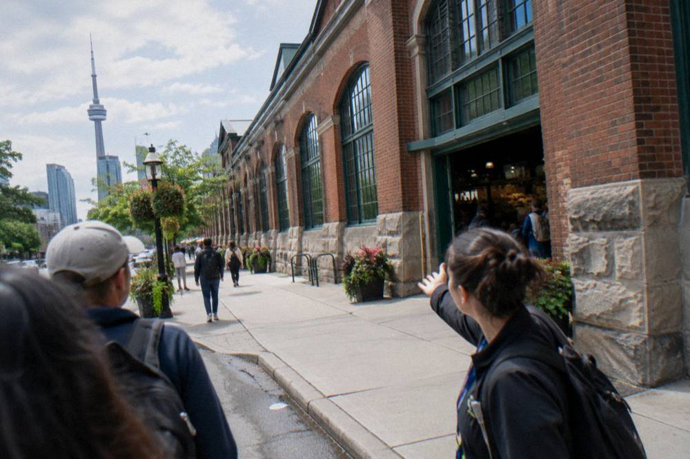
The e-bike variant deserves a mention for anyone worried about distance or hills. The E-Bike City and Neighbourhoods ride runs the same 3.5-hour window as the classic downtown format, with pedal assist flattening the modest climbs, and Ontario's e-bike rules mean the machines are limited to 32 km/h assisted speed, so an e-bike tour is not a faster tour, just an easier one. Whether assist helps or hinders your confidence is a personal call; some first-timers prefer a regular bike precisely because it feels more predictable.
Timing-based options widen the choice further. A sunrise islands ride with breakfast included flips the day: an early ferry, empty trails and a meal on the island before the crowds arrive. It is a niche format with only a handful of reviews so far, so read the listing rather than relying on ratings for that one.
If you are weighing guided versus self-guided across the whole city, the comparison page on which guided bike ride to book in Toronto sets the formats side by side, and the neighbourhood deep-dive on Kensington Market and downtown by bike shows exactly what the calm-street downtown routes look like in practice.
When Is The Best Season To Cycle In Toronto?
By the climate normals, June through September delivers average highs from 22.0 C to 27.0 C, May and October are cooler shoulder months that still ride well, and November through March averages below 8.1 C, so the core season for a visiting cyclist is late spring through early fall. The normals are 1991 to 2020 averages for Toronto City, not a forecast for your week, but they frame the year honestly.
Summer has one trade-off beyond temperature: it is the busy season on the trails and the ferries. August 2026 saw more than 423,000 ferry trips in a single month, a record driven partly by free senior and youth rides that month, and the waterfront trail feels that density on weekends. Spring and fall spread the same routes across fewer people, with average highs of 18.8 C in May and 14.6 C in October, and the fall colours in the Don Valley are a genuine draw.
Winter riding exists, and locals do it, but a visitor should go in with open eyes. January's average high sits at minus 0.3 C with 64.6 mm of precipitation, and the islands ferry runs to Ward's Island only from mid-October to mid-April, which reshapes any island plan. The season does have its own rewards, including the Distillery Winter Village, which runs 12 November 2026 to 3 January 2027 with free entry on off-peak weekdays, and our best time of year to cycle in Toronto guide works through the calendar month by month.
| Month | Average high C | Average low C | Precipitation mm | Days with 1 mm+ |
|---|---|---|---|---|
| May | 18.8 | 10.0 | 76.4 | 9.3 |
| June | 24.2 | 15.3 | 81.6 | 8.4 |
| July | 27.0 | 18.1 | 76.5 | 8.2 |
| August | 26.1 | 17.7 | 71.9 | 7.2 |
| September | 22.0 | 13.8 | 69.4 | 7.7 |
| October | 14.6 | 7.7 | 69.1 | 8.3 |
Whatever the month, pack for the normals plus a margin. A light rain layer covers the roughly 8 to 9 days per month with measurable precipitation in the riding season, and lights are a legal requirement if there is any chance your ride runs past dusk. Our what to bring on a Toronto bike ride checklist covers the rest.
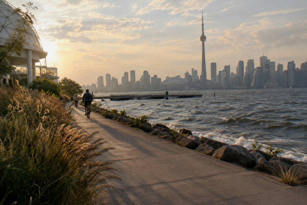
How Do You Plan A First Day Of Cycling In Toronto?
Pick one zone, not the whole city: a morning on the waterfront trail, or a downtown neighbourhoods loop, or an islands crossing, each fills about half a day, and trying to combine all three is how first-timers end up tired and rushed. Match the zone to your confidence, book anything with a firm start time, and let the ferry schedule shape an islands day rather than fighting it.
A confident plan might look like this. Take a morning guided downtown ride, 3.5 hours with snacks, which lands you back mid-afternoon with your bearings set and a mental map of which streets felt comfortable. Spend the late afternoon on the waterfront trail at your own pace, since you now know how the city's infrastructure reads. Save the islands for a second day, with a ferry fare budgeted in Canadian dollars and a check of the current sailing schedule, because winter and summer serve different docks.
A quieter plan reverses the order. Ride the Martin Goodman Trail first, on your own, where the traffic stress is lowest, and let that build the reflexes before you touch a downtown street. Then take a guided neighbourhood ride on day two, letting the operator handle the route while you look at Kensington and Chinatown instead of at the asphalt. Both sequences work; the mistake is inventing a third that involves a busy arterial at rush hour on day one.
For logistics beyond the bike, our getting around Toronto without a car guide covers how the transit pieces fit together, and Bike Tours Toronto exists to answer exactly this kind of first-visit question with verified, current figures rather than folklore.
Common Questions About Cycling In Toronto As A Visitor
What Is Cycling In Toronto Really Like For A First-Timer?
It splits into two experiences: the waterfront trails and the car-free islands feel relaxed and beginner-friendly, while downtown mixes protected cycle tracks with busier shared roads. The city held 110.1 km of cycle tracks and 399.3 km of multi-use trails as of December 2025, so there is plenty of low-stress riding once you know where it sits.
Do I Need A Helmet To Cycle In Toronto?
Ontario law makes an approved helmet mandatory for every cyclist under 18, and optional for adults. Regardless of age, a helmet is sensible on any first ride in an unfamiliar city. E-bike riders of all ages must wear one by law.
Can I Ride My Bike On The Sidewalk In Toronto?
No, riding on sidewalks is not allowed, with an exception for children under 10. On multi-use trails, keep right, pass on the left and ring or call out before passing pedestrians.
Where Are The Best Places To Cycle In Toronto For Beginners?
The Martin Goodman Trail along the waterfront, the Toronto Islands, and the quiet residential grid linking Kensington Market, Chinatown and the Annex. The islands add a ferry crossing with a round-trip adult fare of $9.57 in Canadian dollars; bicycles are welcome on board.
Is Toronto Good For Cycling In Winter?
Locals ride year-round, but January's average high is minus 0.3 C and island ferry service runs to Ward's Island only from mid-October to mid-April, which limits island access. Late spring through early fall is the comfortable window for a visitor.
Should A Nervous Visitor Take A Guided Bike Ride In Toronto?
It is the single easiest way to remove route stress: the operator picks streets that are currently calm, the bike and helmet come with the tour, and snacks are included on the downtown format, which runs 3.5 hours from $87 per person.